The Manawatu-Whanganui region stretches across the lower half of the North Island's west coast, a broad swath of farmland, river valleys, and volcanic country that most tourists drive straight through. That is a mistake. The landscape here is shaped by two powerful rivers, and the towns along them have a quiet, unpretentious character that rewards anyone willing to slow down.
The Whanganui River — New Zealand's longest navigable river — winds through deep bush-clad gorges from the volcanic plateau to the sea. For centuries it was the only route into the interior, and the river towns still carry that sense of remoteness. The city of Wanganui sits at its mouth, a compact, arts-minded place with more heritage architecture than you would expect.
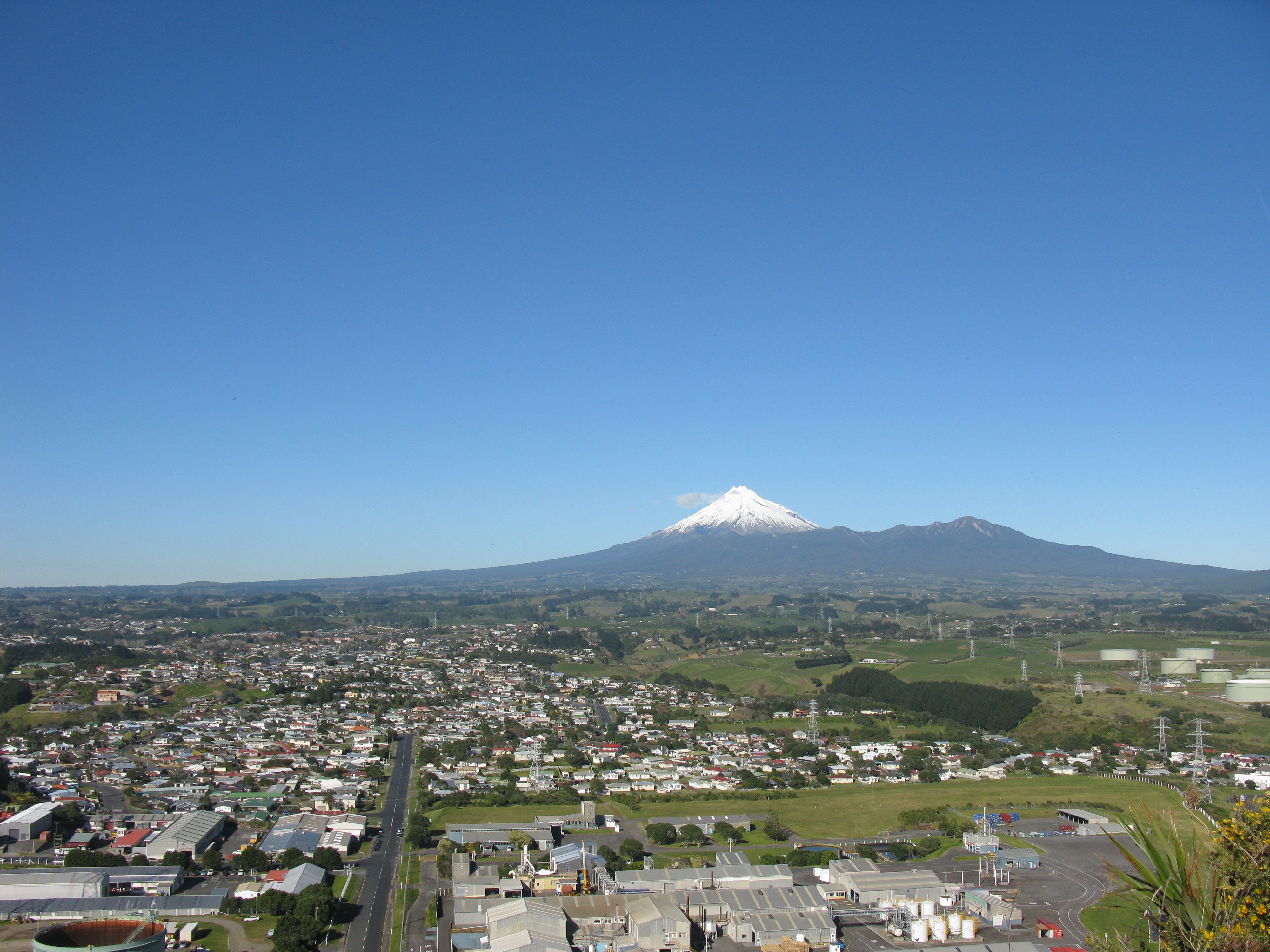
To the north, New Plymouth sits beneath the near-perfect cone of Mount Taranaki, gateway to some of the North Island's best surfing and alpine walking. The Manawatu River, meanwhile, cuts a dramatic gorge through the Tararua Range — one of the few places in New Zealand where a river has carved clean through a mountain range.
The spelling question comes up often: the river, the national park, and the region use "Whanganui" with an 'h', while the city has historically been spelled "Wanganui" without it. Both forms reflect the ongoing Maori cultural revival that runs strong in this part of the country.