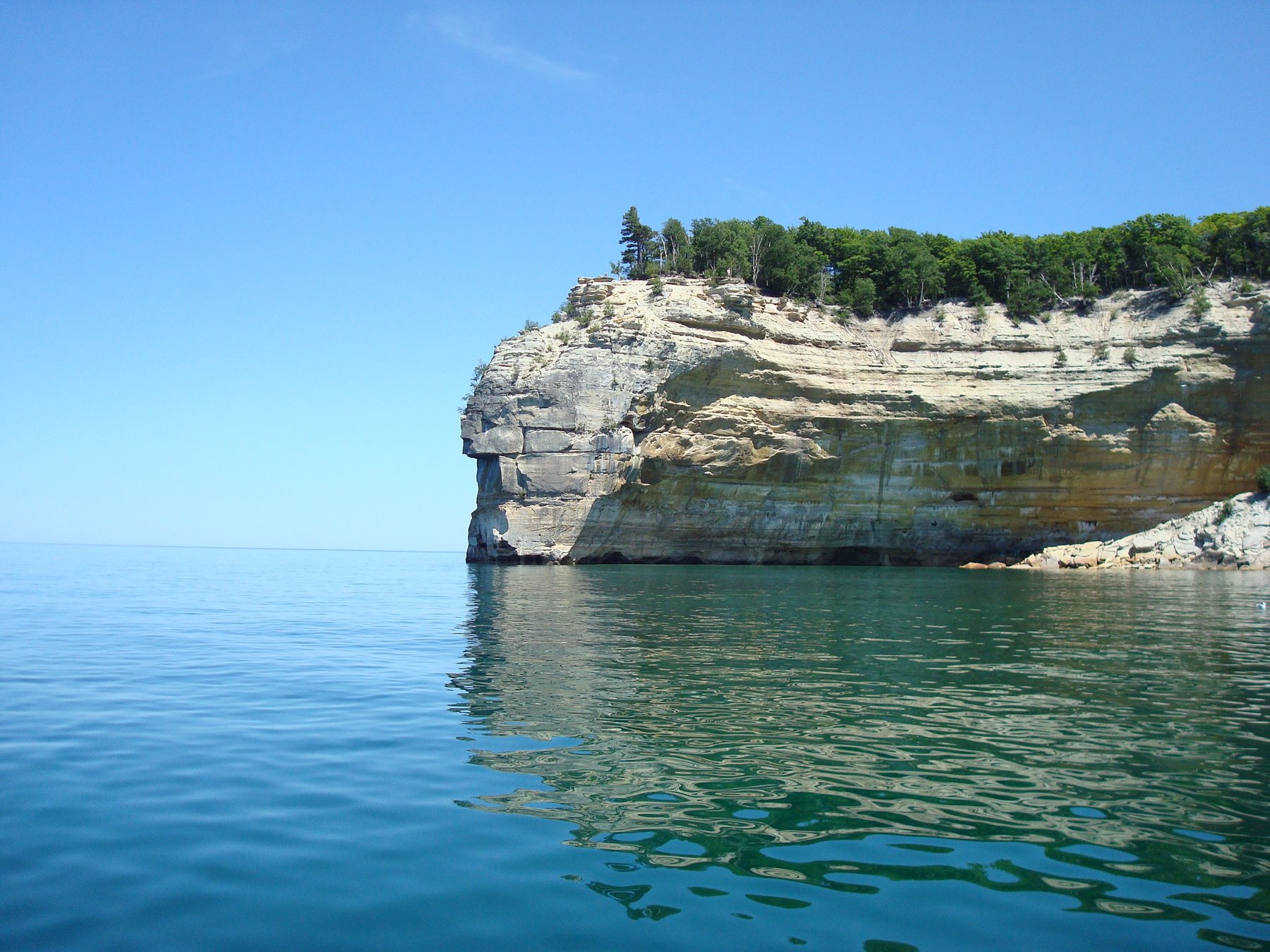
Pictured Rocks National Lakeshore was the first national lakeshore in the United States, designated in 1966, and it remains one of the most dramatic stretches of shoreline in the Great Lakes. For more than 40 miles, multicolored sandstone cliffs drop straight into Lake Superior — mineral seepage stains them in streaks of copper green, iron red, and manganese black, giving the park its name.
Behind the cliffs the park opens into a wilderness of waterfalls, inland lakes, hardwood forest, and sand dunes. At its widest it is only five miles across, so you are never far from the lake. Hikers can follow the Lakeshore Trail end to end, camping on the bluffs with Superior directly below, or take shorter routes to individual highlights like Miners Beach, Miners Castle, and Spray Falls.
The park is genuinely four-season: summer brings kayakers paddling the sea caves and arch formations at the base of the cliffs, autumn turns the forest a deep gold, and winter brings snowshoers and skiers into a landscape that feels entirely remote. A historic lighthouse and former Coast Guard life-saving station at Munising Falls add a thread of human history to the natural drama.
The nearest town is Munising, which serves as the main gateway and base.