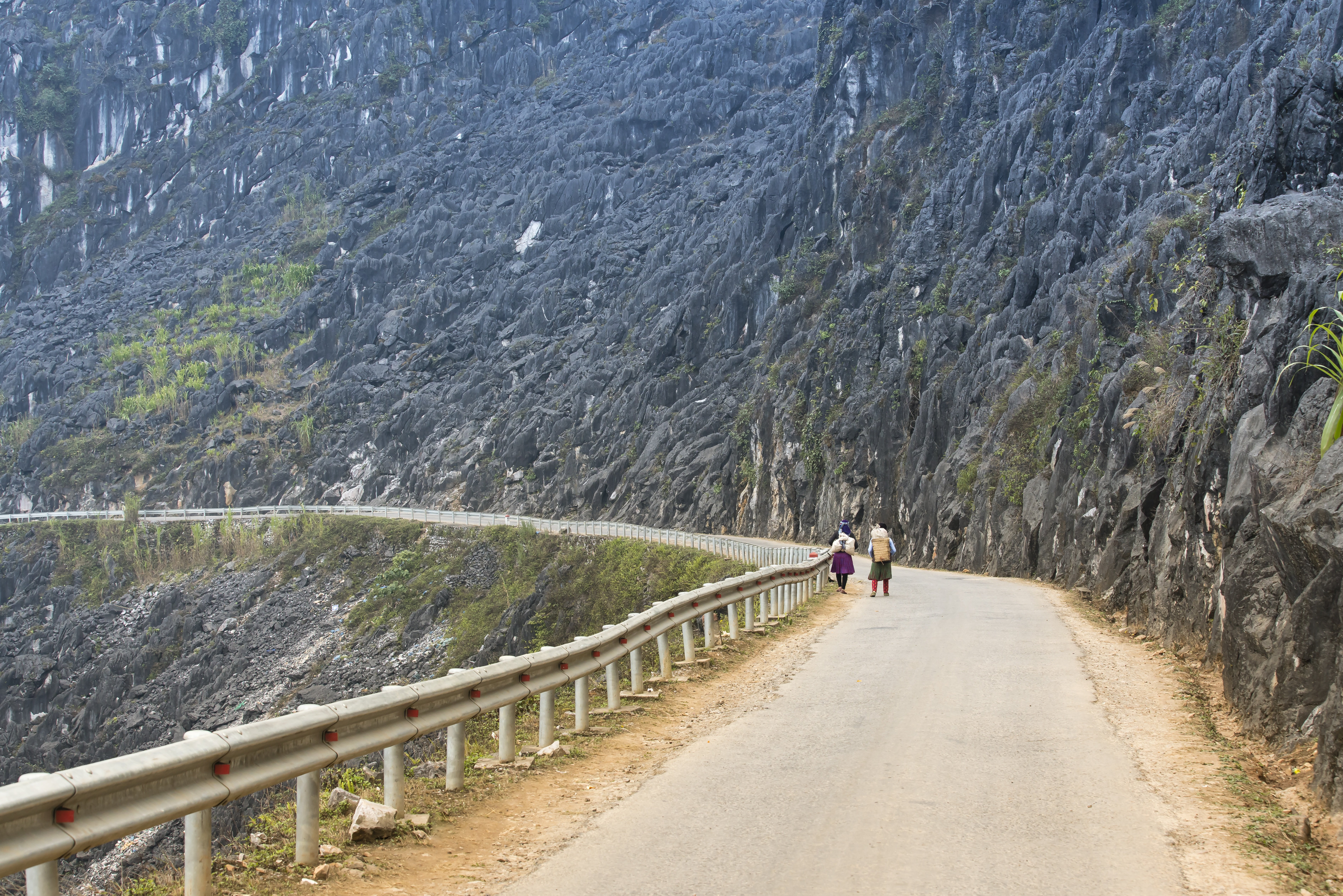
Northern Vietnamese mountain province of karst passes and Hmong villages along the Chinese border.
Ha Giang is Vietnam's northernmost province and, for most travelers, its wildest frontier. The province pushes hard against the Chinese border through a landscape of sheer limestone karsts, plunging river valleys, and high plateaux that feel nothing like the rest of Southeast Asia. The Ha Giang Loop — a 200-kilometer circuit through the Dong Van Karst Plateau — has become one of the most celebrated motorbike routes in the country, and the reason most visitors come here at all.
The Dong Van Karst Plateau Geopark is the visual centrepiece: a UNESCO-recognized geological wonder of ancient limestone formations that jut from the earth like shattered teeth, dotted with terraced fields carved by H'mong, Lo Lo, and Dao minority communities over centuries. The Dong Van old town is the most atmospheric settlement in the province, a cluster of French colonial buildings and traditional stone houses pressed against a cliff. From there, the Ma Pi Leng Pass drops in dizzy switchbacks toward Meo Vac, with views that inspire the same giddy speechlessness in almost everyone who crests the ridge.
This is not easy travel. The roads are narrow, the drops are serious, and the weather changes fast. Many visitors hire a local Easy Rider guide in Ha Giang city for the Loop — the guides are worth it, both for safety and for introductions to villages that are otherwise hard to approach as an outsider. The minority communities here — particularly the Hmong in the high plateau — have maintained their customs and dress more completely than in more touristed northern towns like Sapa.
Ha Giang city, the provincial capital on the Lo River, is a serviceable but unremarkable base. The real province begins an hour north, once the road climbs into the mountains and the flat valley gives way to the karsts. Come between September and November for the buckwheat flowers — pink and white blooms covering the plateau — or in January when the valley mists roll in and the mountains look like Chinese ink paintings.
Guide
Getting Around
The Ha Giang Loop is done almost exclusively by motorbike. You can rent a semi-automatic or manual motorcycle in Ha Giang city for around 150,000–200,000 VND per day. Automatic scooters are available but not recommended for the high passes: the roads are narrow, steep, and can be greasy with mud, and having full control of gearing makes a practical difference. Helmets are mandatory by law and important in practice.
The alternative is hiring a local Easy Rider guide — a local driver who takes you pillion on their motorbike while guiding you through the route and introducing you to villages along the way. This is genuinely recommended for first-time visitors: the guides know the roads, the people, the safe stopping points, and the cultural context. Rates run to around $25–40 USD per day, all-in. Drivers can be arranged through guesthouses in Ha Giang city.
The Loop runs in either direction, but most riders go anti-clockwise (Ha Giang → Quan Ba → Yen Minh → Dong Van → Meo Vac → Ha Giang) to have the better views on the outside edge of the Ma Pi Leng switchbacks. The full circuit takes three days at a minimum, four at a more comfortable pace with stops.
Guide
When to Go
The best time to visit Ha Giang is October and early November, when the buckwheat flowers bloom across the Dong Van plateau. The weather is cooler and generally clearer than in summer, the rice harvest in the lower valleys is underway, and the combination of the pink buckwheat blooms against the grey limestone makes for the most photogenic landscapes of the year. This is also the busiest time, so book guesthouses in advance for Dong Van and Meo Vac.
September is a good alternative: the buckwheat hasn't flowered yet but the terraced fields are lush green, the weather is drier than the July–August wet season, and there are noticeably fewer tourists. March to May is the spring option — flowers in the valley, milder temperatures — though the plateau can still be cold and overcast.
July and August are the wet season: roads can be dangerous, landslides are possible, and the views are often blocked by clouds. January and February are cold — temperatures on the high plateau drop below 5°C at night, and frost is possible — but the misty winter landscape and relative absence of tourists appeals to some visitors. The Chinese New Year period (Tet) sees some minority markets and festivals but also increased domestic tourism.