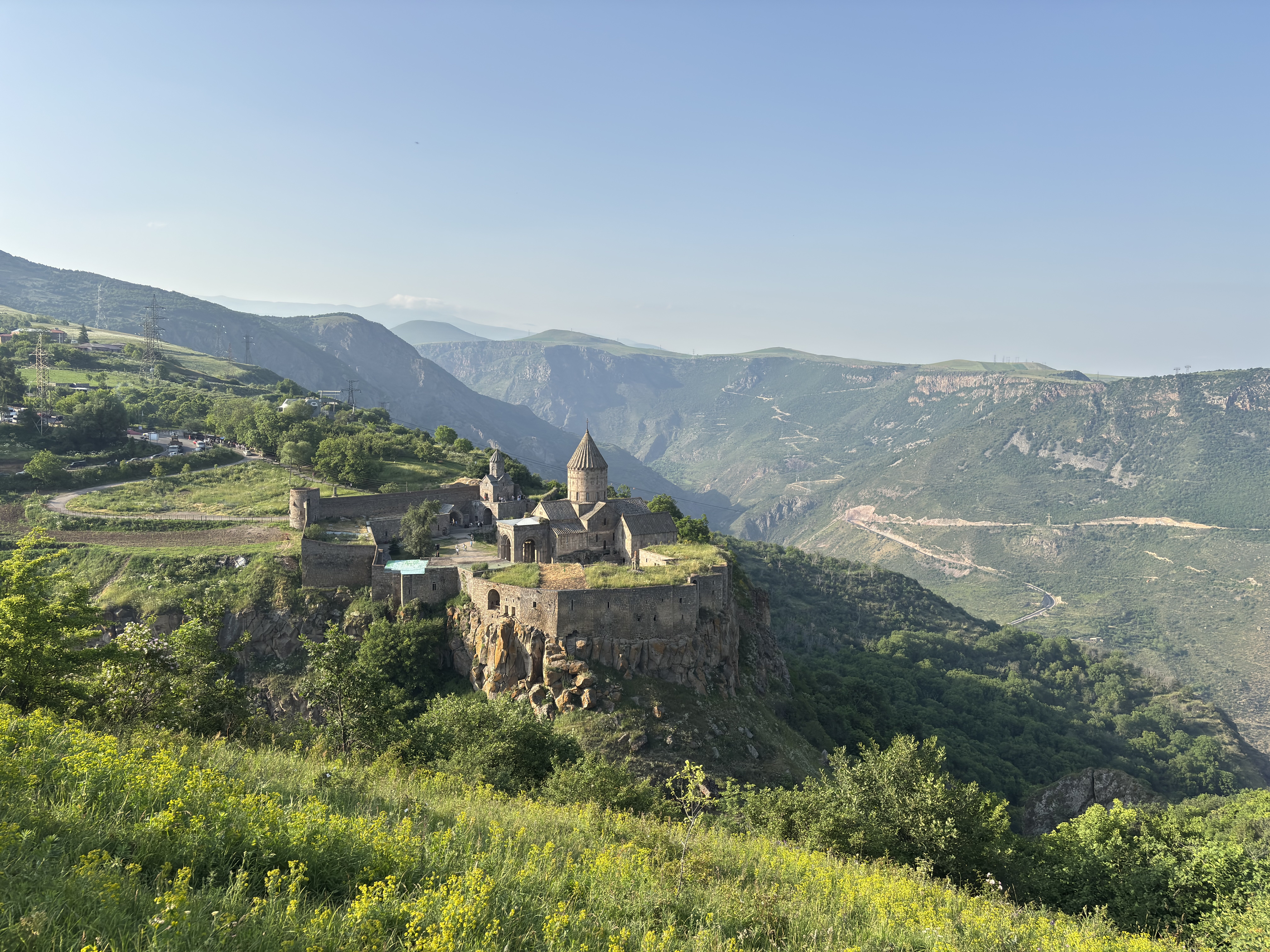
The south marz (province) of Syunik is high plateau, and very ancient. Entered from the west through the Gates of Syunik (don't forget to honk), the road descends past an alpine reservoir on the right, and over a treeless plateau.
On the left is Ughtasar Mountain, whose top stone is etched with literally thousands of petroglyphs, many with hunting scenes carved 10,000 BC, and including now extinct animals and herding scenes.
On the right before the turnoff for Sissian, is a guarded intersection still semi-open to Nakhichevan. A short distance east is a turnoff to the must-see of Syunik: Carahunge. Literally a stonehenge of standing rocks, but much broader (30+ stone circles) than the UK version, and several thousand years older. In the summer, student volunteers both explain the site, and guard it from vandals and New Agers.
It is one of the most advanced astronomical sites in the IV-III Millenium period, with rocks carved with 90 degree 'holes' and obsidian mirrors, for viewing stars directly overhead, as well as on the horizon.
If you make your way around Sissian, there is a martyr's memorial on a back road to Noravan village, and further south a hot springs below a 500-foot cliff in the valley village of Uruyt.
To follow the road east (and dodge Iranian lorries), you will pass through the eastern city of Goris, one of the few treed respites in the high country, as it is in a well-watered valley. East of Goris, the road formerly continued through the Lachin corridor to Nagorno-Karabakh. That route is no longer accessible — since Azerbaijan's military offensive in September 2023 and the displacement of the entire ethnic Armenian population of Karabakh, the corridor is closed to travellers from the Armenian side.