Wangerooge is the easternmost of the East Frisian Islands and one of the smallest, a slender strip of sand and dune about eight kilometres long. It is car-free and reached by a narrow-gauge railway from the ferry pier to the village — a ten-minute ride through marshland that immediately signals you have left the mainland behind.
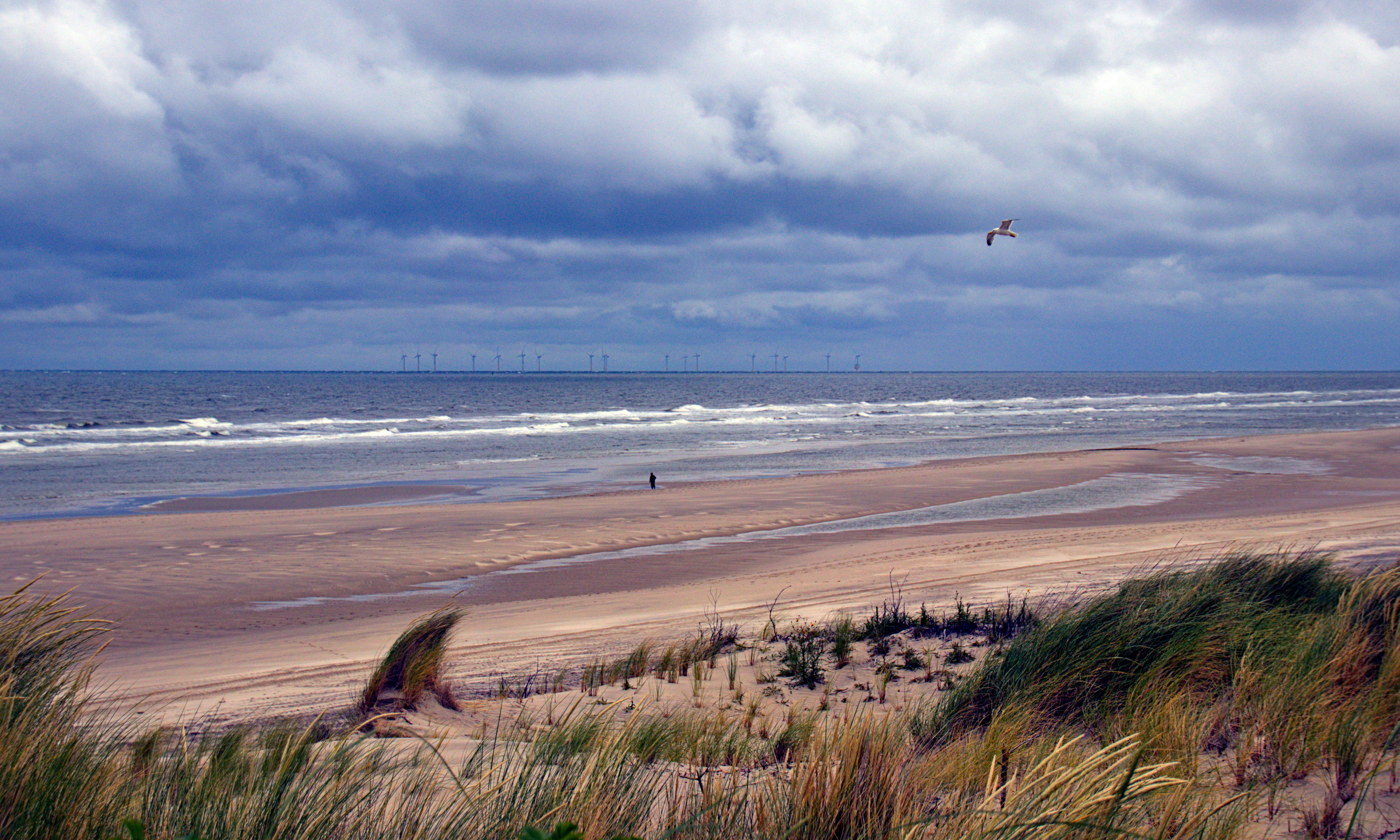
The village sits on the south side of the island, sheltered from the North Sea by the dune ridge. It is small and quiet, with a church, a handful of restaurants, and the old lighthouse that now serves as a lookout tower. The beach on the north side is broad and sandy, curving gently for the length of the island. Wangerooge's position at the eastern end of the chain means it catches the currents differently — the island has been slowly migrating eastward over the centuries, which is why the old west lighthouse now stands in the middle of the island rather than at its tip.
The Wadden Sea on the south side is rich in birdlife, and the island sits within the national park. At low tide, the mudflats stretch to the mainland, and guided walks are available. Wangerooge is particularly popular with birdwatchers during the autumn migration, when thousands of waders stop on the island. The western end of the island, reached by a walk or cycle from the village, is the most isolated stretch — dunes and sea with no development for the last two kilometres.
Ferries run from Harlesiel on the mainland, with schedules dependent on tides. The crossing takes about an hour. On arrival, the Inselbahn — the island's narrow-gauge railway, running since 1897 — carries passengers and luggage from the pier to the village.