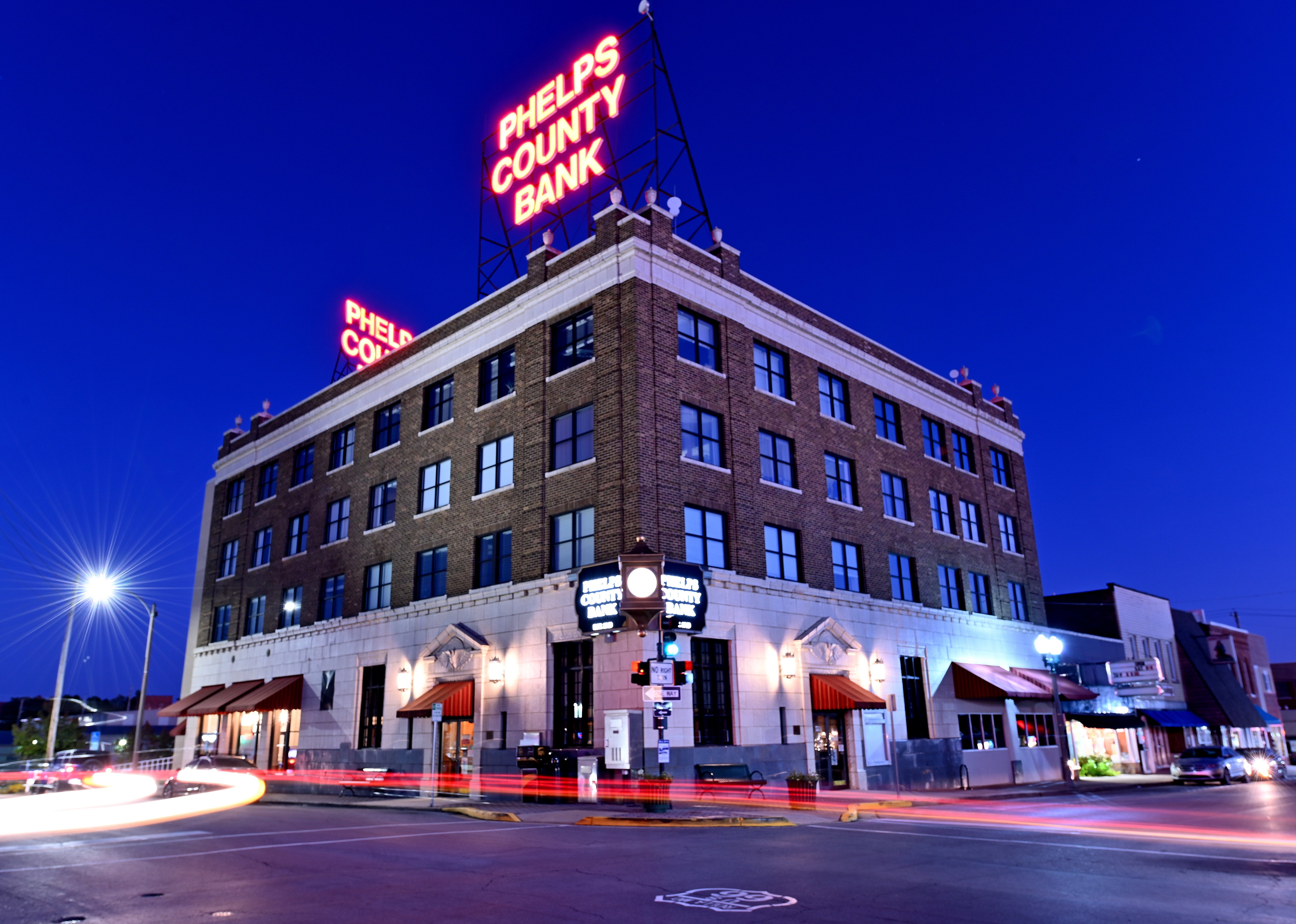
Rolla
©
Rolla

Rolla

Ozark foothills college town and Missouri S&T home, near trout streams, caves, and forest trails.

Rolla sits in the Ozark foothills at the junction of I-44 and US-63, roughly equidistant from St. Louis and Springfield — locals call it the "Middle of Everywhere." It is the home of Missouri S&T (formerly the University of Missouri at Rolla), a well-regarded engineering school that gives the small town a college-town energy.

Phelps County has more miles of trout streams than any other county in the state, and the surrounding Ozarks offer some of Missouri's best outdoor recreation — float trips on spring-fed rivers, hiking through Mark Twain National Forest, and caving. A few miles east in St. James, a small wine region has tasting rooms worth a stop on the drive. Downtown, the Phelps County Courthouse and nearby Civil War earthworks at Fort Dette trace Rolla's role as a Union Army supply base during the 1861 Missouri campaign.

Guide

Day Trips

The Ozarks are Rolla's backyard and the best day trips take you into the hills and rivers surrounding the city. The Current River — one of Missouri's finest float streams — is about 60 miles south, accessible from Akers Ferry or Pulltite campground within the Ozark National Scenic Riverways. Float trips on spring-fed rivers are the defining Ozark experience: clear, cold water and steep wooded bluffs.

Meramec State Park, 30 miles northeast on the Meramec River, has caves open for tours (Fisher Cave) and is a popular float river. The town of St. James, 10 miles east on I-44, has several winery tasting rooms in Missouri's wine country. The Dillard Mill State Historic Site, about 35 miles south, preserves a well-restored nineteenth-century gristmill on the Huzzah Creek.

Guide

Getting Around

Rolla is a car-dependent city and you will need a vehicle to explore the surrounding Ozarks. The town centre is compact enough to walk, but the trailheads, rivers, and state parks are all a short drive away. Missouri S&T's campus is within easy walking distance of the downtown area.

Guide

Getting There

Rolla sits directly on Interstate 44, making it an easy stop between St. Louis (90 miles east) and Springfield (100 miles west). The nearest commercial airport is St. Louis Lambert International Airport (STL), about 100 miles away. Greyhound buses stop in Rolla on the I-44 corridor route. Rolla Downtown Airport, southwest of the city, handles small private aircraft.