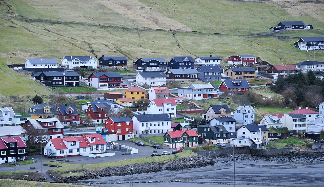
Miðvágur is one of the larger settlements on Vágar island in the Faroe Islands, home to about a thousand people. The village sits on the shore of Sørvágsfjørður and makes a practical, quieter base than Sørvágur for exploring Vágar's most dramatic scenery.
The trailhead for the Leitisvatn hike — the walk to the famous lake that appears to float above the ocean — starts at the edge of the village. It is a 3.5 km walk along the southern lakeshore to the cliff at Bøsdalafossur, where the lake drains directly into the Atlantic. Most visitors coming from Tórshavn or the airport pass through Miðvágur anyway, and the trailhead gate is here, not in Sørvágur.
The Dúgvan War Museum is housed in a preserved Nissen hut from the British military base that operated on Vágar during World War II. It is one of the few places in the Faroes where the Allied occupation — Britain took control in April 1940 to prevent a German foothold — is documented in detail.
Fifteen minutes by road through the mountain tunnel, Gásadalur is worth the detour: a handful of houses on a cliff above the Atlantic, with the waterfall Múlafossur dropping straight into the sea and Mykines across the water.