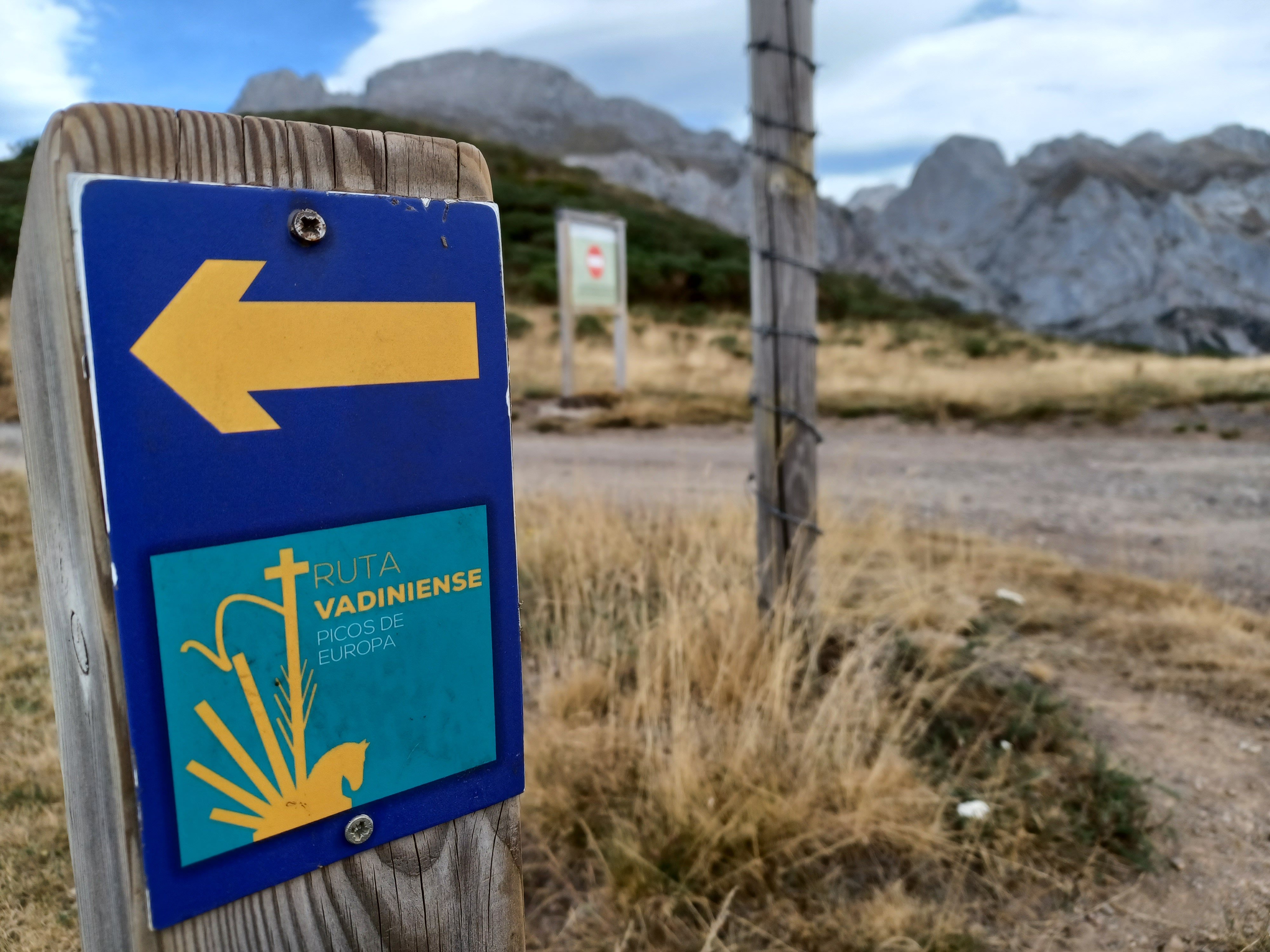
The Picos de Europa are a compact limestone massif rising dramatically above the green hills of northern Spain, straddling the borders of Asturias, Cantabria, and Castile and León. They are not high by Alpine standards — the highest peak, Torre de Cerredo, reaches 2,648 metres — but the vertical relief is extraordinary: the range drops from summit to sea level in barely 30 kilometres, and within the massif itself the gorges cut to depths of 1,000 metres or more. Spain's first national park was established here in 1918, and a UNESCO Biosphere Reserve designation followed in 2003.
The park divides into three massifs separated by deep river gorges. The Western Massif (Cornión) is accessible from the Asturian coast and holds the Covadonga sanctuary and the glacial lakes of Covadonga. The Central Massif (Urrieles) contains the park's most dramatic scenery, including the vertical west face of Naranjo de Bulnes, Spain's most celebrated rock climbing objective. The Eastern Massif (Ándara) is the least visited and wildest of the three. Cutting between the Western and Central massifs, the Cares Gorge trail is the most famous walk in northern Spain.
The Picos support a remarkable range of wildlife. Cantabrian brown bears — a distinct subspecies from the Pyrenean population — live in the most remote western valleys. Iberian wolves roam the eastern ranges. The park's most visible large mammal is the Cantabrian chamois (rebeco), with around 8,000 individuals in the park area. Golden eagles and griffon vultures circle the limestone ridges daily. The villages within and around the park — places like Sotres, Bulnes, and Fuente Dé — have changed slowly over the centuries, still producing the cave-aged cheeses and cider that define Asturian and Cantabrian food culture.