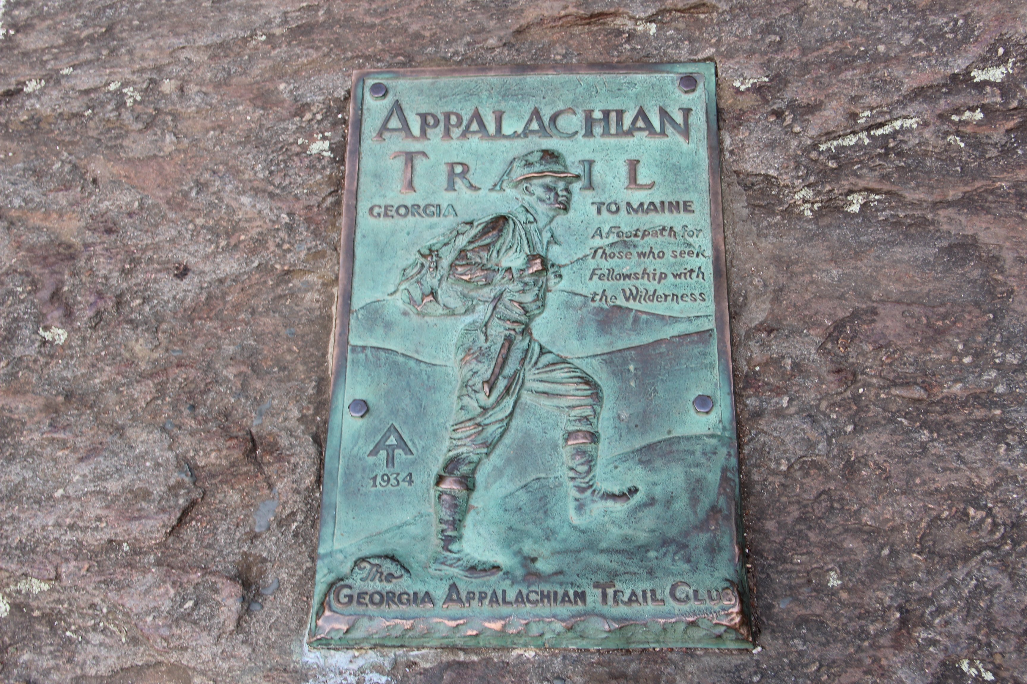
Springer Mountain is a 3,782-foot summit in the Chattahoochee National Forest of north Georgia, distinguished from the dozens of similar Blue Ridge peaks around it by one fact: a small bronze plaque on its bare rock face marks the southern terminus of the Appalachian Trail. From here the trail runs 2,194 miles north to Mount Katahdin in Maine, and every thru-hiker — somewhere around 3,000 a year start, about 25 percent finish — begins their walk here, usually in March or early April.
The summit itself is unremarkable: a small rock outcrop, a clearing, and a register box where hikers sign in or sign off. The view is decent rather than dramatic — wooded ridges receding into the Cohutta Wilderness to the west and the Blue Ridge to the north. What gives the place its weight is the sheer accumulation of human intention. Read a few pages of the summit register and you will find people about to start three months of walking, people back from finishing in Maine the year before, and people who simply wanted to stand at the southern end of the longest hiking-only trail in the world.
Most visitors arrive by one of two routes. The shorter is from Three Forks via Forest Service roads — about a one-mile walk in along the AT itself. The longer and traditional route is the Approach Trail from Amicalola Falls State Park, 8.8 miles of steady climb that thru-hikers use as a warm-up. Either way the trip is a day hike for most people. There is a shelter just past the summit if you want to spend the night.
The surrounding area is the Ed Jenkins National Recreation Area, 23,000 acres of national forest, with the Benton MacKaye Trail crossing the summit and the Three Forks basin nearby. Hiking here is good year-round. Spring brings the thru-hiker traffic and the mountain laurel; autumn is the best time for the colour and the cooler weather.