Coyote Buttes South
©
Coyote Buttes South

Coyote Buttes South

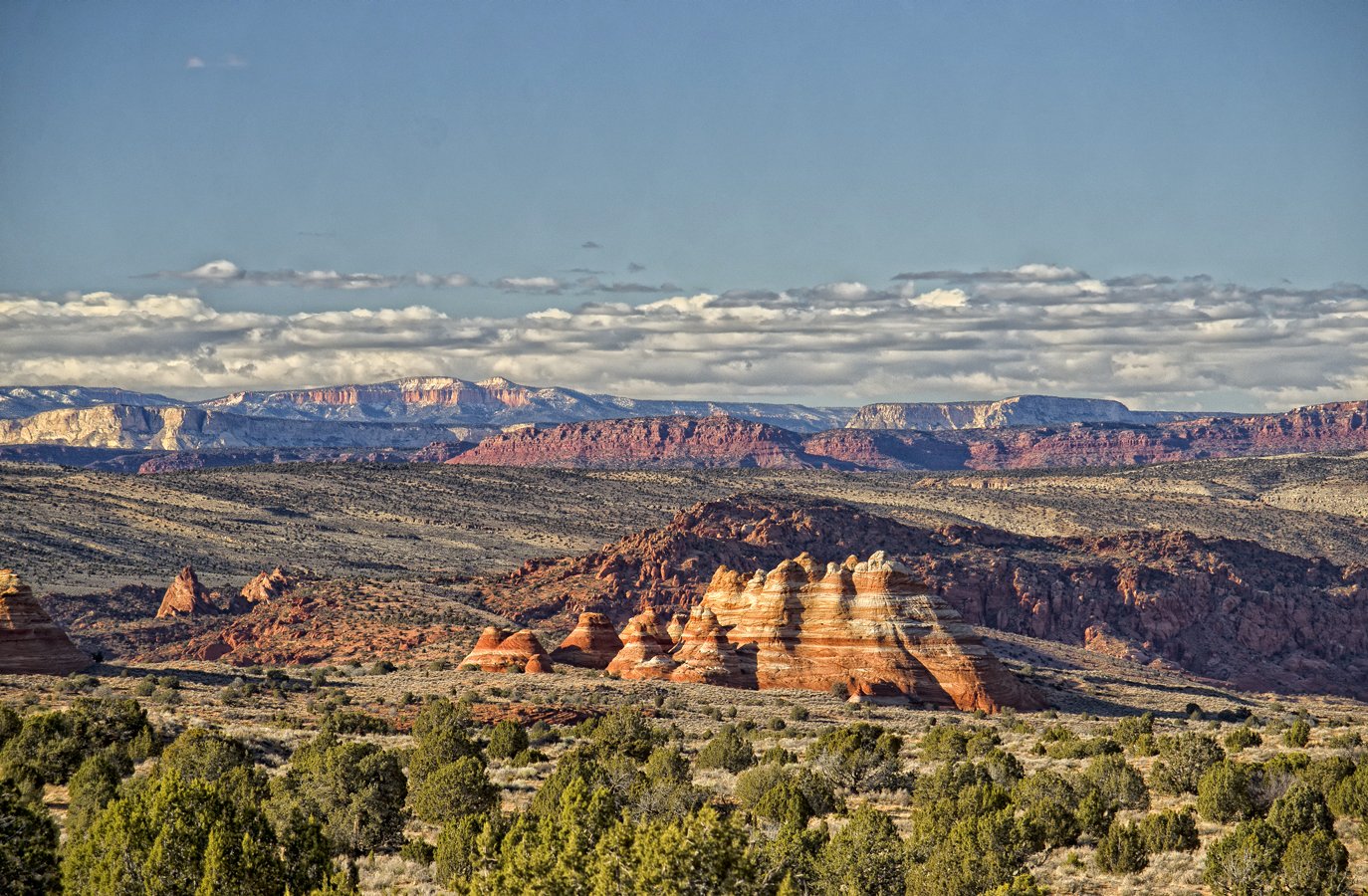
Remote Vermilion Cliffs sandstone area of eroded teepees, fins, and desert flats near the Utah-Arizona border.

Coyote Buttes South is one of the most remote and least-visited parts of the Paria Canyon-Vermilion Cliffs Wilderness, straddling the Utah-Arizona border about 40 miles west of Page, Arizona. It is managed by the Bureau of Land Management, which strictly limits access to 20 visitors per day — a permit is required and must be reserved well in advance.

The south unit offers a different experience from the more famous Coyote Buttes North: less dramatic in its headline formations, but quieter and more raw. The terrain includes sandstone teepees, eroded fins, and open desert flats. Getting there requires real effort, which keeps the crowds away.

The two main areas within the permit zone are Paw Hole, reached first from the Cottonwood Cove trailhead, and the Cottonwood Teepees further in — a field of cone-shaped sandstone pinnacles cross-bedded with swirling layers of red, orange, and cream. There are no marked trails; navigation is by GPS and landmark.

Access is almost entirely by four-wheel-drive vehicle. From House Rock Valley Road, you pass the Wire Pass Trailhead (the entry point for the north unit) and continue south through the Utah-Arizona state line, where a campground and restrooms are located. From there, the road deteriorates steadily. The Lone Tree Reservoir turnoff at mile 16.1 is the last point accessible to standard cars. Beyond that, the track crosses deep sand for several more miles to Poverty Flat Ranch, then continues another short distance to the teepee formations near the permit area.

The north and south units are separately permitted — a pass for one gives no access to the other. If you are primarily after The Wave or similar formations, you want the north unit. But if you want solitude in a genuinely wild landscape and don't mind a demanding drive, the south unit rewards the effort.

Guide

Getting There

Coyote Buttes South straddles the Utah-Arizona border and is reached via House Rock Valley Road (BLM Road 1065), which turns south off US-89 between Kanab, Utah and Page, Arizona. The Wire Pass Trailhead (entry point for Coyote Buttes North) is at mile 8.4; continue south for the south unit. The road surface is unpaved and deteriorates as you go further — a high-clearance four-wheel-drive vehicle is not optional. After mile 16.1 at the Lone Tree Reservoir turnoff, the track crosses deep sand for several more miles to the Cottonwood Cove area.

Do not attempt the road in a standard car or after rain. Flash flooding can wash out sections without warning. Check conditions with the BLM field office in Kanab before heading out.

Permits are required and strictly enforced. They are available through Recreation.gov in two ways: advance online lottery (opens the 1st of each month for permits three months ahead) and same-day walk-up lottery at the Paria Canyon Ranger Station near the US-89 trailhead. Twenty permits per day are issued in total. The north and south units are separately permitted.

Guide

Things to Do

There are no marked trails in Coyote Buttes South — the visit is entirely open-ended, cross-country navigation through a landscape of sandstone teepees, fins, bowls, and hoodoos. The permit area is small enough that you can cover the main formations in a full day. Bring a GPS or offline maps; there is no cell coverage.

Guide

When to Go

Spring (March to May) and autumn (September to November) are the best seasons. Temperatures are moderate, the light is good in the morning and evening hours, and the sandstone colors are at their most vivid. Summer brings intense heat — daytime highs above 38°C are common in July and August, and the deep sand reflects heat upward. Winter is cold but can be beautiful; snow occasionally sits in the hollows between teepee formations and the desert is empty.

Avoid visiting during or immediately after rain. The dirt road into the area can become impassable when wet and may take days to dry out. The BLM updates conditions through the Kanab Field Office and online.