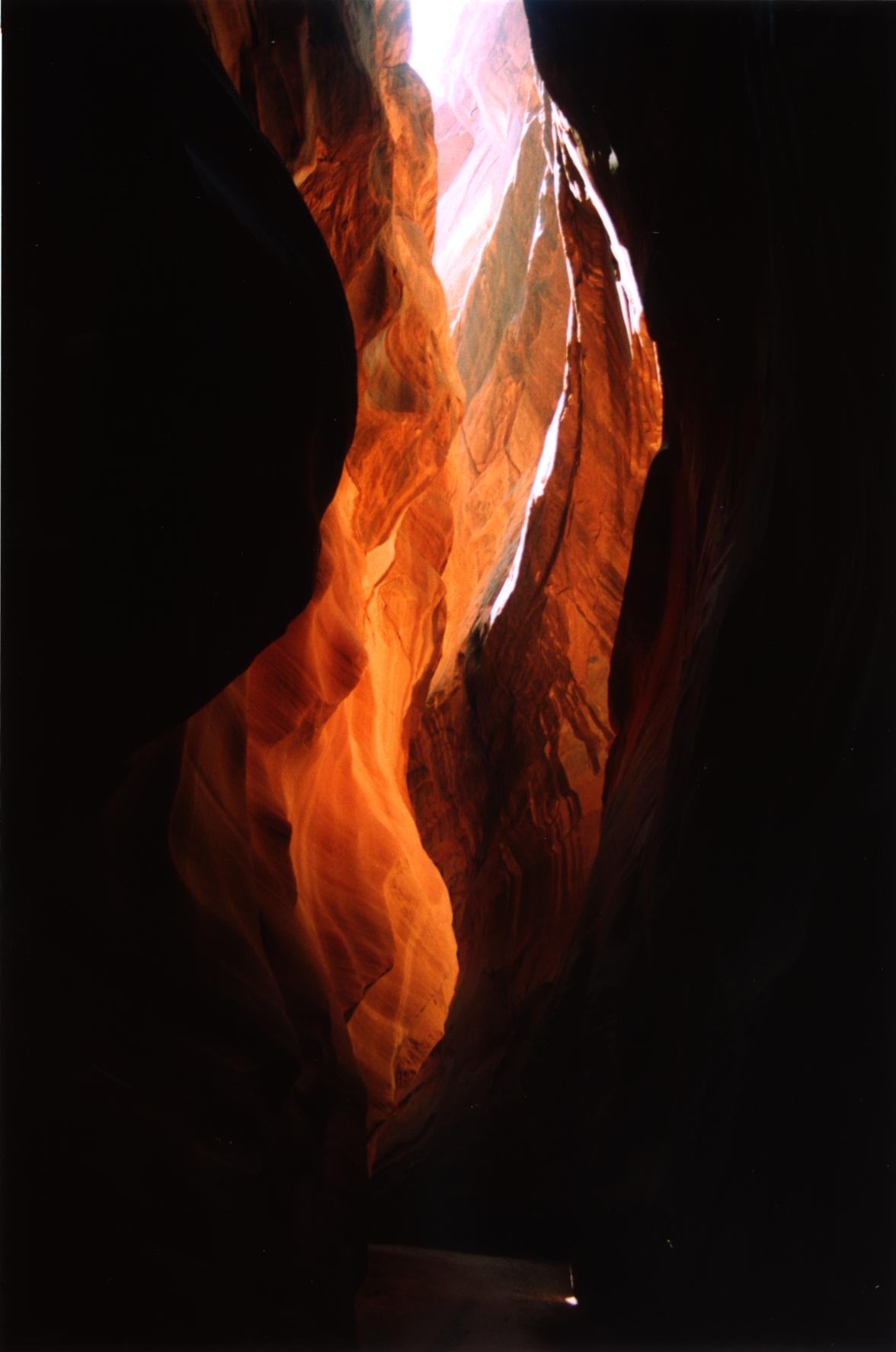
Navajo sandstone slot canyon with 16 miles of deep, narrow passage through the Paria wilderness.
Buckskin Gulch is the longest slot canyon in the American Southwest — 16 miles of continuous narrows carved through Navajo sandstone, up to 500 feet deep and sometimes barely wide enough to squeeze through. It's one of those places that feels genuinely otherworldly, and the effort required to get there is part of what makes it memorable.
Most people enter at Wire Pass Trailhead and hike 13 miles down-canyon to the confluence with the Paria River, then exit 7 miles up the Paria to Whitehouse. Budget the full day, or plan an overnight — you won't average more than 1 mile per hour through the lower narrows, which are floored with mud, standing water, and chokestones. There's a significant boulder fall mid-canyon where you'll need a rope to rappel down; bring one.
The surrounding Paria Canyon-Vermilion Cliffs Wilderness holds other exceptional landscapes. The Wave, just across the Arizona border, is one of the most photographed rock formations in the American West — and one of the hardest permits to secure. Coyote Buttes South is the less-visited alternative, with equally dramatic sandstone terrain and a somewhat easier lottery.
Water is scarce and what's there is not worth drinking. Carry everything you need. Flash floods are the serious danger here: the slot is so narrow and deep that you have no escape once inside, and a storm miles away can send a wall of water through with no warning. Check forecasts obsessively and do not enter if there is any rain in the watershed. The canyon is closed when the threat level is high. Permits are required and limited — apply months in advance through the Bureau of Land Management. Don't show up without one.
Guide
Getting There
Buckskin Gulch is remote. The nearest town of any size is Kanab, Utah, about 40 miles to the north via US-89. Kanab has accommodation, fuel, and gear shops; this is where you should stock up before heading out. Page, Arizona is about 75 miles to the east and also has services.
From Kanab, drive south on US-89 toward the Utah-Arizona border. The Wire Pass Trailhead turnoff is near milepost 26 on the Arizona side. Follow House Rock Valley Road (unpaved) for about 8 miles to the trailhead. The road is passable in dry weather for two-wheel drive cars; high-clearance vehicles are recommended. Do not attempt it in wet weather — the road becomes hazardous and vehicles have become stuck for days.
There is no public transport to the trailhead. A rental car or private vehicle is essential. Las Vegas is the most practical major airport — about 3 hours away. Salt Lake City, Phoenix, and Denver are all within reasonable driving distance.
Guide
When to Go
Spring (March to May) and autumn (September to October) are the preferred seasons. Temperatures are comfortable for hiking, the light is exceptional, and flash flood risk is lower than in summer — though it is never zero. The desert blooms in early spring, and the canyon walls change colour dramatically through the day.
Summer is hot and dangerous. Afternoon thunderstorms are frequent from July through September, and flash floods in the narrows can be fatal — the canyon offers no escape once you're inside. The BLM rates daily flood risk and closes the canyon to hikers when the risk is high. Check the forecast obsessively before entering, and trust the closure.
Winter is cold, with snow possible and standing water in the canyon that may freeze. Some hikers prefer this season for solitude; you'll likely have the canyon to yourself. Wetsuits or dry suits are useful if you plan to wade through standing pools. Permits are still required.
Permits sell out months in advance for spring and autumn weekends. If you're flexible on dates, weekdays in shoulder season give the best combination of good weather and availability.