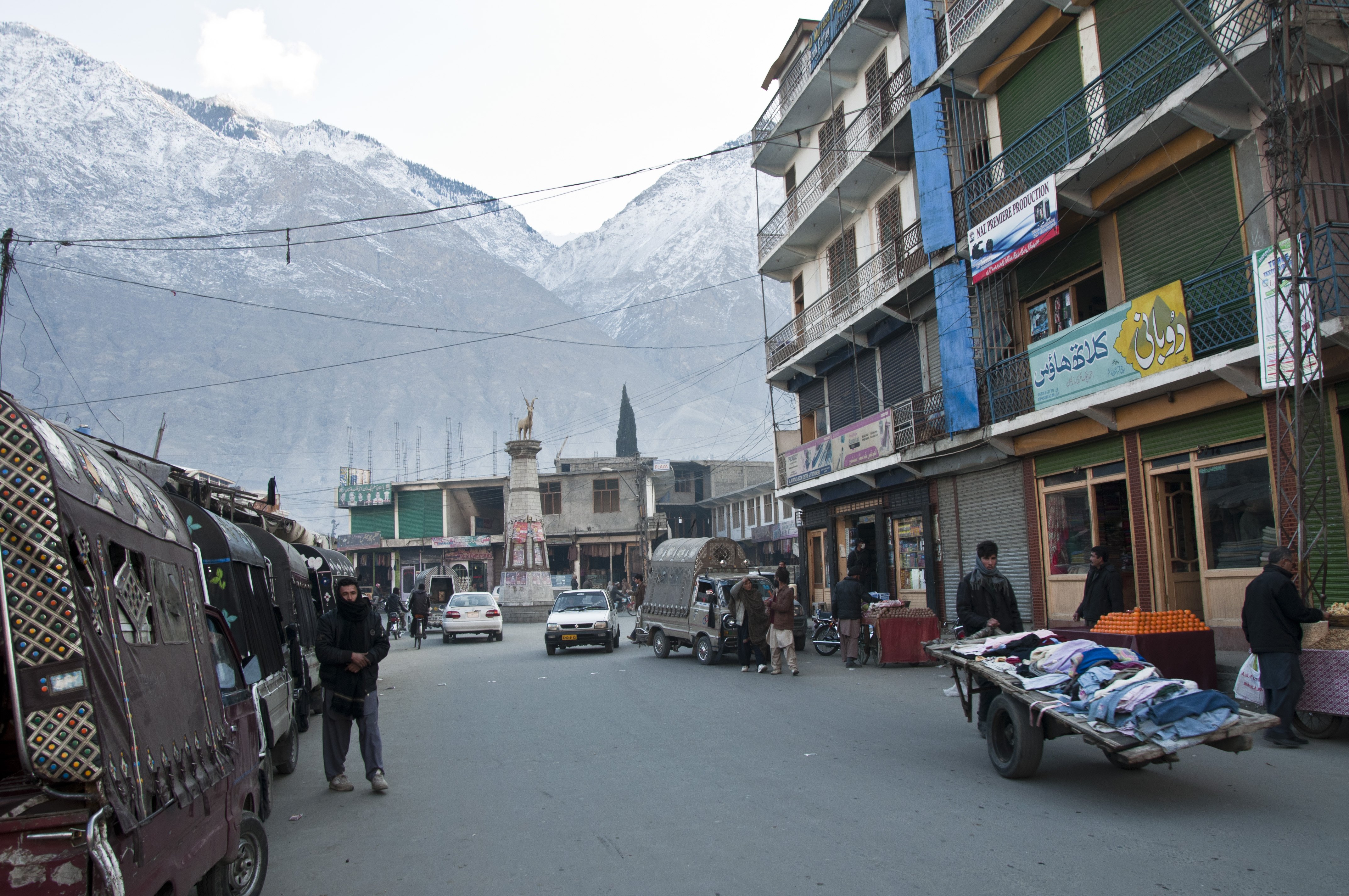
Gilgit is the capital of Gilgit-Baltistan, the administrative region covering Pakistan's northern highlands, and the main transport hub for the Karakoram and the Hindu Kush. The town itself sits in a broad, dry river valley at about 1,500 metres, ringed on all sides by enormous brown peaks; it is unremarkable in itself — dusty, bazaar-centred, with a permanent population of around 200,000 — but it is the place nearly every traveller to the mountains passes through. Gilgit has been a crossroads for as long as anything here has been written down: the old caravan routes from Kashgar over the Khunjerab, from Ladakh via Skardu, and from Chitral over the Shandur all met here.
The main sight in town is a pair of rock-cut standing Buddhas at the Kargah Nala, about 10 km south-west of the city — 7th-century Gandharan carvings that are a reminder of how Buddhist this region once was. The Old British Cemetery and the polo ground at the edge of town are the other small landmarks. The polo here is the real game — rough, fast, unlimited-player village polo, which the locals claim is the original form of the sport. A much larger version is played every July at Shandur Pass, at 3,700 metres between Gilgit and Chitral, for the famous Shandur Polo Festival.
Most travellers use Gilgit as a base for trips further into the mountains. Hunza Valley and Karimabad are 2–3 hours north on the Karakoram Highway. Skardu (and from there, the trekking routes to the great 8,000-metre peaks — K2, Broad Peak, the Gasherbrums) is a full day's drive east. The trek to Rakaposhi Base Camp, on the flanks of the 7,788-metre giant that looms over the Hunza valley, is a popular three- or four-day outing. Fairy Meadows and Nanga Parbat Base Camp are south.