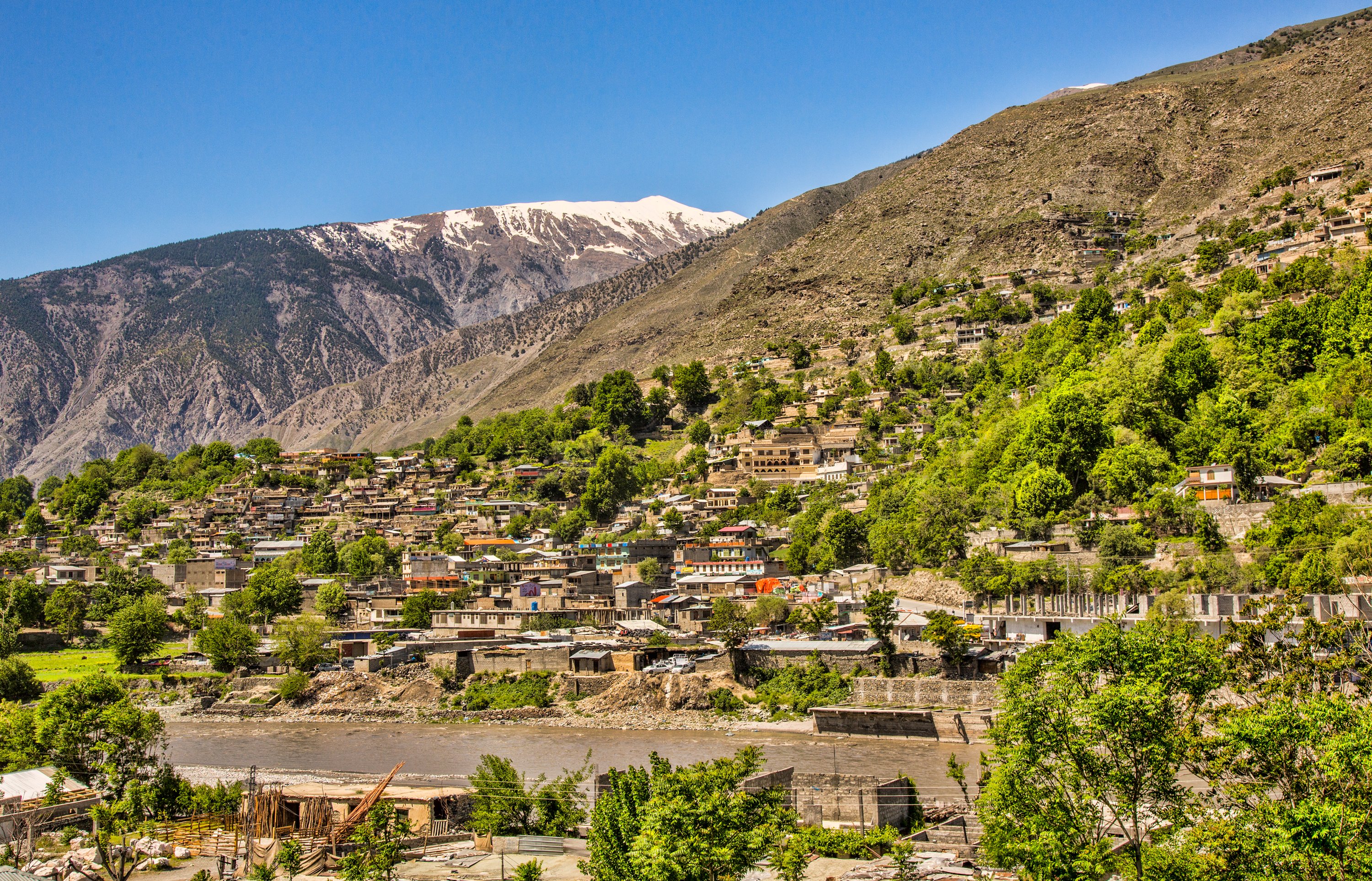
Chitral is one of Pakistan's most remote and extraordinary valleys — a 322-kilometre corridor hemmed in by Afghanistan on three sides and separated from Tajikistan only by the narrow Wakhan strip. At its heart sits Tirich Mir, the highest peak of the Hindu Kush at 7,708 metres, presiding over a landscape that draws mountaineers, trekkers, anglers and anthropologists alike.
The valley's most famous residents are the Kalash, a community of around 3,000 people living in the side valleys of Bumburet, Rumbur and Birir south of Chitral town — see the Kalash Valleys page. The Kalash follow an ancient animist religion, and their festivals — Joshi in May, Uchau in August, Chowmos in December — are vivid, music-filled affairs open to respectful visitors. Bumburet, the largest and most accessible valley, is about 40 kilometres from Chitral by jeep road. Birir and Rumbur are slightly closer but involve rougher tracks.
In Chitral town itself, the white-domed Shahi Mosque and the riverside Chitral Fort — still partly used by the family of the last Mehtar — anchor the centre, with the bazaar running east from them. Above the airport, the ruined summer fort at Birmoghlasht makes a good half-day walk.
Beyond the Kalash valleys, Chitral rewards anyone willing to deal with its limited infrastructure. The rivers hold brown trout, the high passes connect to Gilgit via the Shandur Pass, and the peaks above 6,000 metres are numerous enough that you will not be fighting for permits. The tourist season runs from June to September, when the Lowari Pass (or now its tunnel) is open and the weather cooperates.