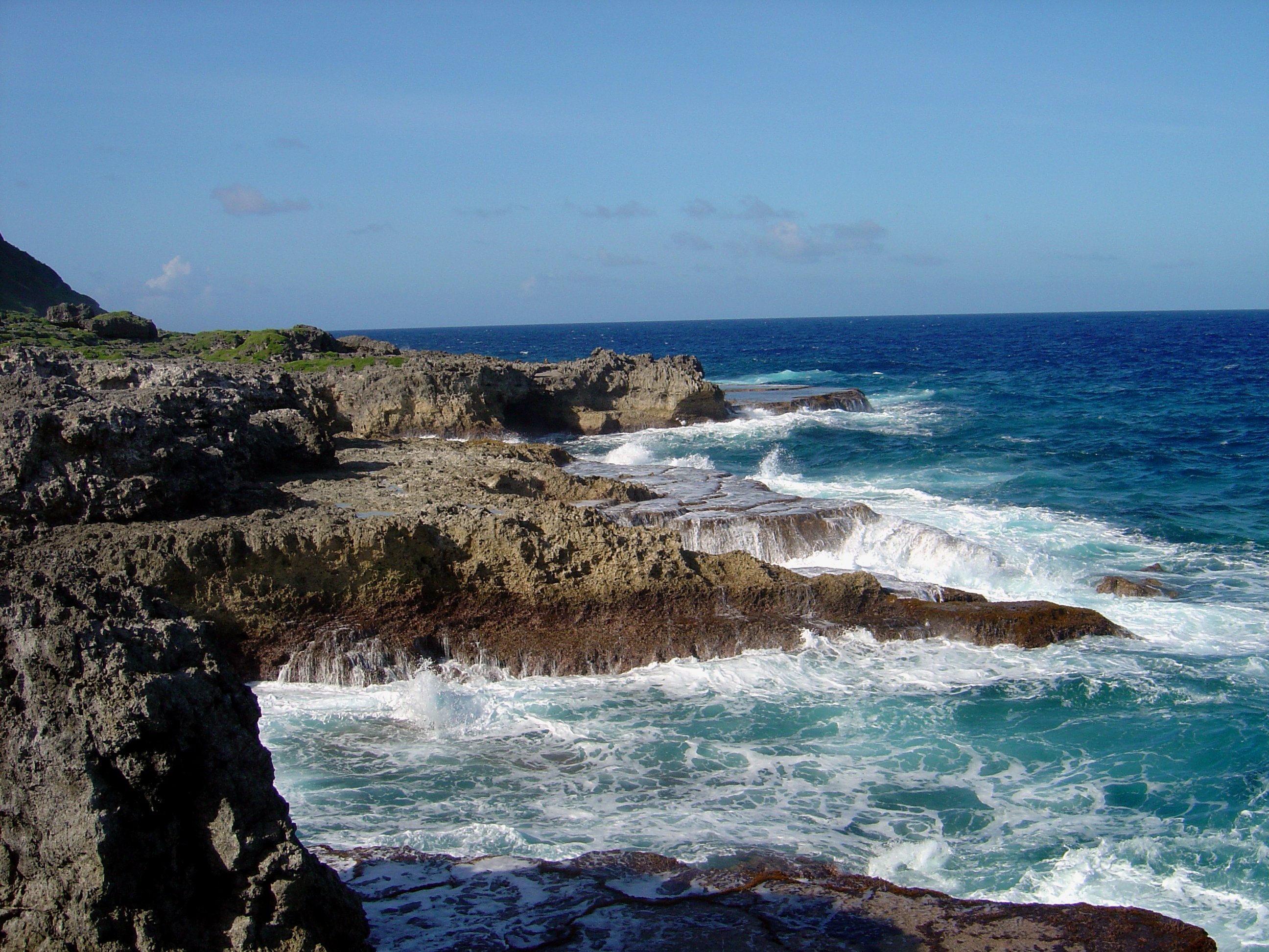
Yigo occupies the northern end of Guam, a broad village area shaped by limestone forest, military land, and the long road toward Ritidian Point. It is not a polished tourist base, but it is important if you want to understand the island beyond Tumon and the southern villages.
The main reason to stop in Yigo itself is the South Pacific Memorial Park, a quiet Japanese memorial site near the former command area where organised Japanese resistance on Guam ended in August 1944. Mount Santa Rosa gives the village its inland landmark, while the road north continues toward Ritidian Point, one of Guam's best protected beaches.
Yigo is car country. Distances are longer than they look, public transport is not useful for sightseeing, and parts of the north are controlled by military or wildlife-refuge access rules. Check the road and refuge status before setting out.