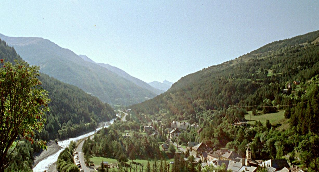
Queyras
©
Queyras

Queyras

High Alpine natural park on France's Italian border, known for sunny valleys and flower-rich meadows.

The Queyras Regional Natural Park sits in the far southeast of France, south of Briançon and right against the Italian border. It enjoys a microclimate of its own — over 300 days of sunshine a year — and feels like a well-kept secret compared to the busier resorts of Savoie and Haute-Savoie further north.

The terrain is somewhat lower than the northern Alps but strikingly beautiful, with some of the best alpine flower meadows in France. Walking towards Monte Viso from the eastern edge of the park, you are almost guaranteed to spot marmots and hear their piercing warning whistles echoing across the valleys.

Within the park, the highest village is Saint-Véran — a contender for highest permanently inhabited village in Europe — while Fort Queyras commands the main valley, and the road over the Col Agnel is one of the highest paved passes in the Alps.

Guide

Getting There

The Queyras is one of the more awkward parts of the French Alps to reach by public transport. The nearest train station is Mont-Dauphin–Guillestre on the Marseille–Briançon line, with a bus connection up into the park (limited frequency outside summer).

By car, the usual approaches are from Guillestre via the Gorges du Guil (the main road into the park) or from Italy over the Col Agnel (summer only). From Briançon, the Col de l'Izoard is the scenic — and seasonal — alternative.

Guide

Things to Do

The Queyras is about walking, skiing, and looking. The region is laced with marked hiking trails — the GR58 (Tour du Queyras) circles the whole valley in a week — and the villages preserve some of the most distinctive traditional architecture in the French Alps. In winter, the small ski areas around Molines and Abriès draw families and ski-tourers rather than weekenders from Paris.