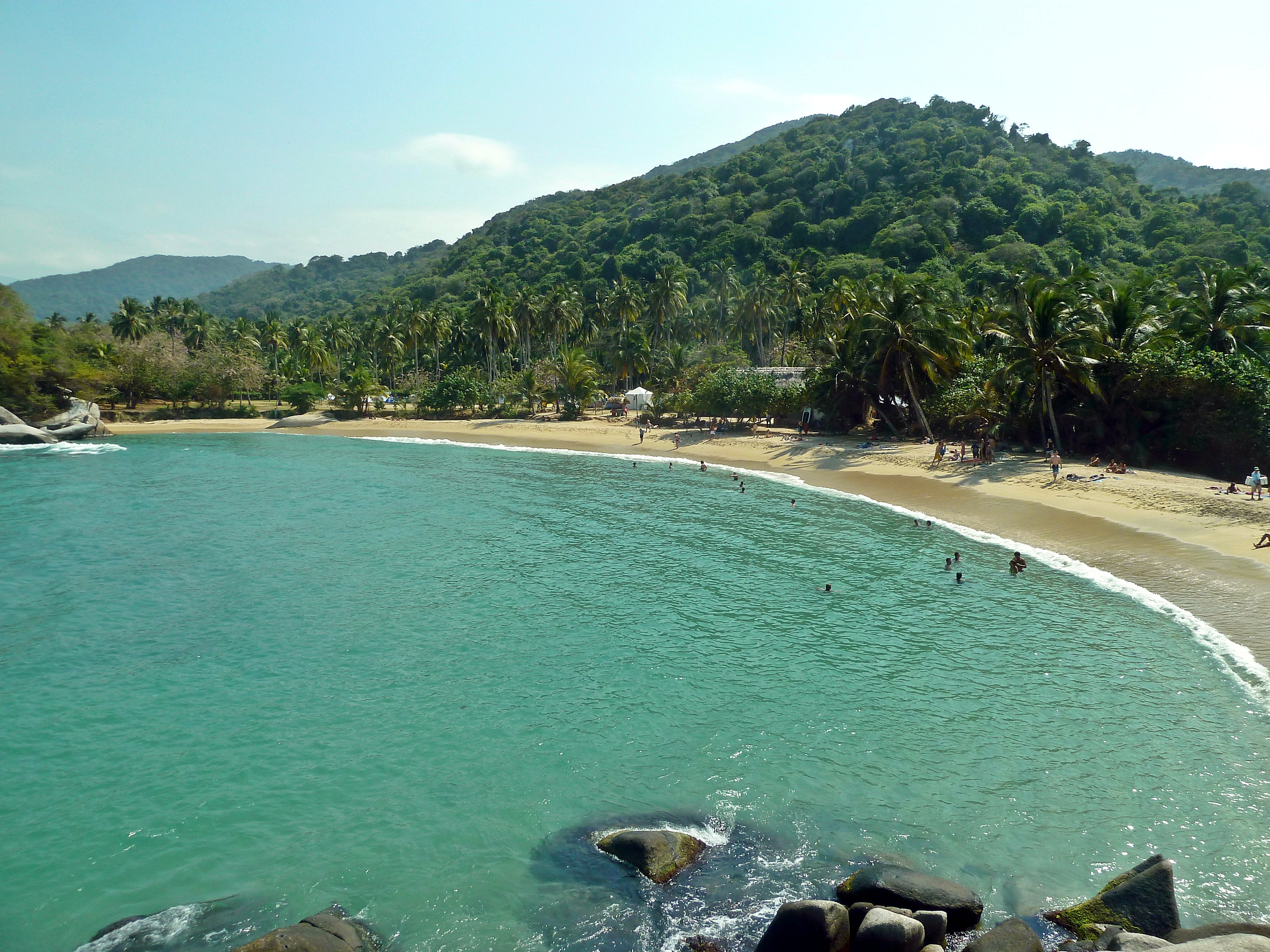
Tayrona National Natural Park is one of the most visited and most spectacular protected areas in Colombia, covering 150 square kilometres of Caribbean coastline and the lower slopes of the Sierra Nevada de Santa Marta. Here the mountains come down to the sea in a dramatic collision: dense tropical forest tumbles down steep hillsides and ends abruptly at a coastline of enormous boulders, white sand beaches, and clear turquoise water. There is nowhere in Colombia quite like it.
The park sits about 35 km east of Santa Marta and is easily reached by bus or taxi. Entry is through one of two main gates. Most visitors enter at El Zaíno on the eastern boundary and hike through the jungle to the main beaches: Playa Arrecifes, La Piscina, and Cabo San Juan. The hike takes two to three hours through forest that is genuinely wild — howler monkeys, iguanas, birds of every colour, and the occasional tapir track. The beaches themselves are framed by massive granite boulders and backed by forest, with the Sierra Nevada visible inland.
The park is also historically significant. This was the territory of the Tayrona people, a sophisticated pre-Columbian civilization that built stone cities in the Sierra Nevada and resisted Spanish colonisation longer than most. The ruins of the Pueblo Perdido (not to be confused with the separate Ciudad Perdida trek) and the Chairama archaeological site are preserved within the park. The relationship between the Tayrona's descendants — the Kogi, Arhuaco, and Wiwa peoples — and the park remains complex; they continue to inhabit the higher slopes of the Sierra Nevada and consider the coastal zone ancestral territory.
Swimming is dangerous on some Tayrona beaches. Cabo San Juan and La Piscina are generally safe; Playa Arrecifes has strong currents and drownings occur every year — the warning signs are serious. Go in dry season (December-April) when the sea is calmer and the forest trails are dry; the rainy season (May-November) makes the trails muddy and the sea rough.