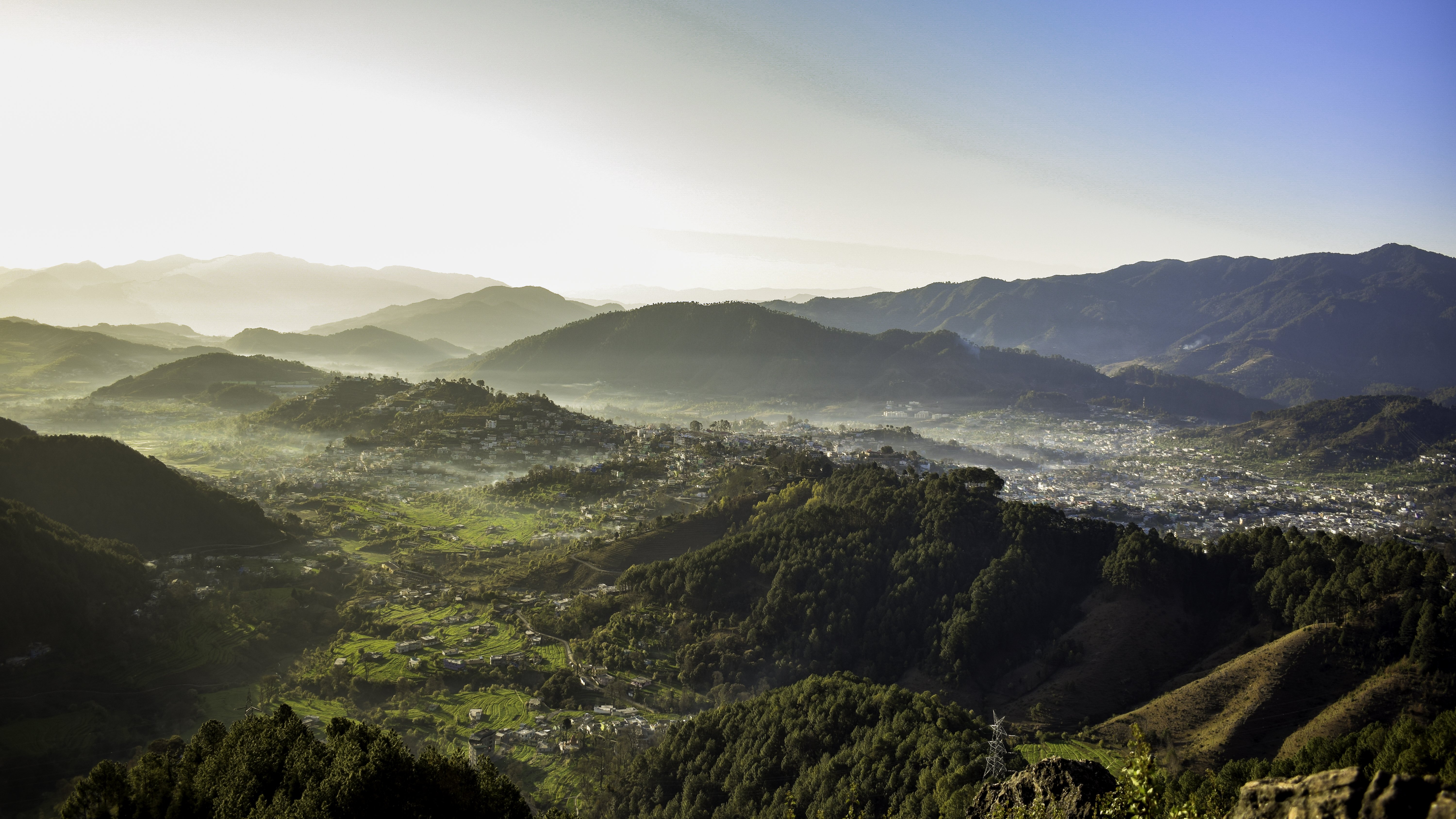
Pithoragarh is a hill town in Uttarakhand, sitting at around 1,800 metres in the Kumaon Himalaya close to the borders with Nepal and Tibet. The town overlooks the Soar valley and is framed by snow peaks that give it a reputation as a mini Kashmir — though the comparison flatters the valley's modest scale.
The Pithoragarh Fort above the town offers the best views and there's a small museum inside. The surrounding area is good hiking country, with trails leading through oak and rhododendron forests into higher terrain — Chandak Hill is the most accessible viewpoint, with the Panchachuli peaks visible on clear mornings. Munsiyari, about 100 km further northeast, is a more demanding destination that serves as a base for trekkers heading toward the Milam Glacier.
Pithoragarh is also the administrative centre for the district and a staging point for the Kailash Mansarovar Yatra pilgrimage route to Tibet, though that route requires special permits and is not always open.