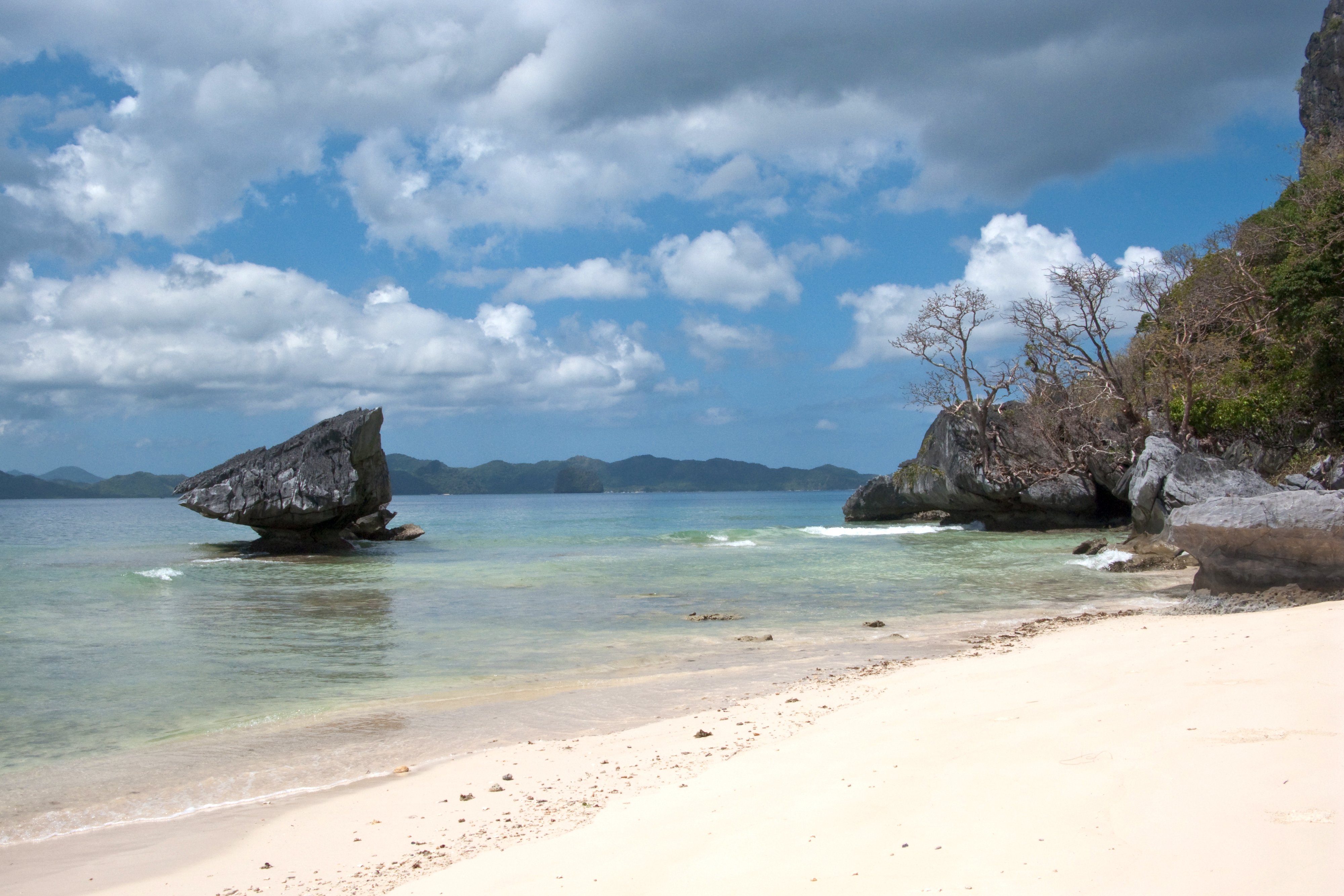
Palawan is a long, slender island 500 km southwest of Manila, often described as the Philippines' last frontier. It remains largely free of mass tourism, with dense jungle, clear waters, and some of the best diving in the country. The island stretches from the regional capital Puerto Princesa in the south to the spectacular karst seascapes of El Nido in the north.
El Nido, at the northern tip, is the base for exploring the Bacuit Archipelago — dramatic limestone cliffs rising from turquoise lagoons, with excellent dive sites and good snorkelling. Nearby are the Tabon Caves, an ancient burial site of significant archaeological importance. About 150 km north of Puerto Princesa, Port Barton is a small village that sees fewer visitors; it makes a good base for a quieter stretch of the coast.
For wreck diving, the area around Busuanga and Coron island, north of El Nido, is a highlight. During World War II, American forces sank much of the Japanese Imperial fleet sheltering in Coron Bay; the wrecks now lie at accessible depths and are considered among the best wreck dives in Asia. Coron island also has striking inland lakes. The journey from Puerto Princesa northward takes several hours by road.
Puerto Princesa has the island's main airport and serves as the practical gateway. It is the only reliable place to find ATMs, so travellers heading north should carry sufficient cash before departing.