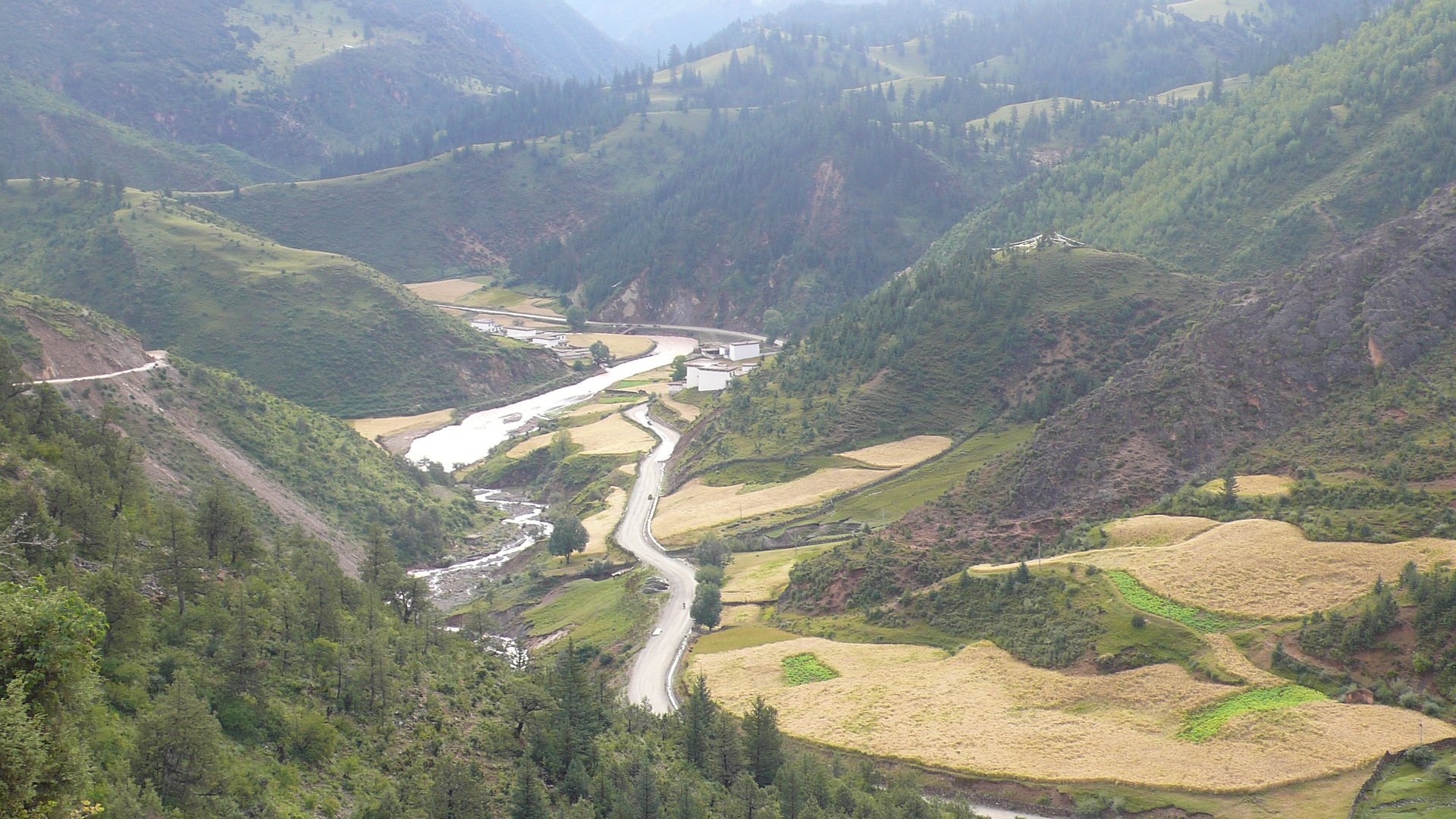
Chamdo — also spelled Qamdo, known in Tibetan as Chab-mdo — is Tibet's third largest city, sitting at around 3,240 metres at the confluence of the Dza Chu and Ngom Chu rivers, which together form the upper Mekong. Unusually for Tibet, it is green and well-watered, hemmed in by steep forested ridges that give it a different character from the stark high-plateau cities to the west. The city sits at a historic crossroads between central Tibet, Sichuan, and Yunnan — the Kham cultural region — and its people speak a distinct dialect, Khams Tibetan, that sets them apart from Lhasans.
The dominant landmark is the Galden Jampaling Monastery, a Gelug institution that crowns the promontory between the two rivers where the town was originally built. Though heavily damaged during the Cultural Revolution and substantially rebuilt, it remains an active religious centre and holds an important annual Butter Sculpture Festival in March. The old town around the monastery is atmospheric — narrow lanes, incense, and pilgrims circling the buildings — while the newer parts of the city feel like any medium-sized Chinese provincial town.
Chamdo entered modern history abruptly in October 1950, when PLA forces defeated the small Tibetan garrison here in a brief battle that broke Lhasa's resistance and led directly to the Seventeen Point Agreement annexing Tibet to China. The city's position on the route to Sichuan made it a gateway rather than a destination — the Sichuan-Tibet Highway (G318) passes through here — and most travellers still use it as a staging point rather than a base. But those who linger find a city with genuine character: a Tibetan majority, a slower pace than Lhasa, and spectacular mountain scenery all around.
Getting here is easier than getting to most of Tibet. There is a small airport at Bangda, about 130 km away, and the city is connected by road to both Lhasa and the Sichuan border. Like all of Tibet, it requires a Tibet Travel Permit for foreign visitors, arranged through a licensed agency.