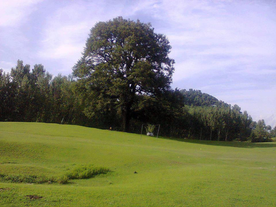
Hajira is a tehsil headquarters in Poonch District of Azad Kashmir, set among forested hills at a moderate elevation. The Line of Control with Indian-administered Kashmir lies only a few kilometres to the east, giving the area a frontier quality — military checkpoints are visible, and the political geography is never far from conversation.
The town itself is small but serves as a commercial centre for the surrounding villages. The bazaar has basic supplies, and a few simple restaurants serve Kashmiri and Punjabi food — roti, daal, and karahi gosht (spiced meat cooked in a wok-shaped pot). The surrounding hills are covered in pine and deodar forest, and the walking is pleasant if you are comfortable navigating without marked trails.
Hajira is connected by road to Rawalakot (the district capital, about 45 kilometres away) and to Khaigala on the road in between. Public transport runs during daylight hours but is infrequent, so hiring a vehicle or catching a shared ride is the practical approach. The area is at its best in spring and autumn when the weather is mild and the hills are green. Devi Gali, a forested ridgeline viewpoint four kilometres to the west, is the most rewarding short excursion from town.