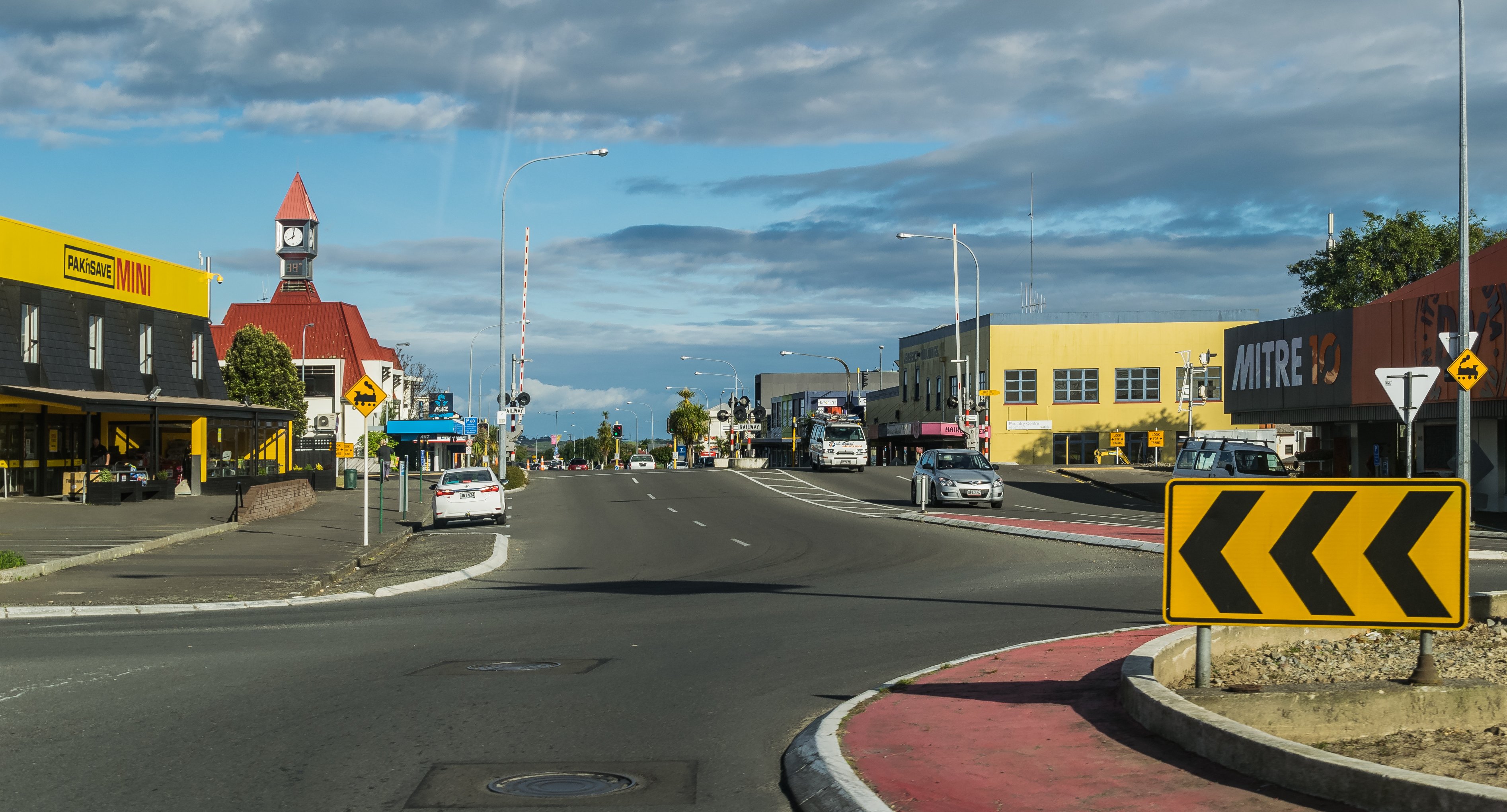
Levin is the largest town in the Horowhenua District, about 95 kilometres north of Wellington on the State Highway 1 / North Island Main Trunk corridor. The Tararua Range rises sharply to the east; the Tasman Sea is a short drive to the west; in between, a fertile alluvial plain produces most of the vegetables that feed the lower North Island. The Māori name, Taitoko, refers to a tributary of the Hokio Stream.
For travellers, Levin is mostly a stop rather than a destination — the town is a working agricultural centre, and the main reason to pause is usually a coffee or a supermarket run before pushing on. There are two genuine attractions, though: Lake Horowhenua on the western edge of town, with its associated wetland reserves, and Lake Papaitonga, a small forested lake just south, one of the best surviving patches of lowland kahikatea forest on the southwestern plain.
The Tararua Forest Park edge starts about ten kilometres east of town and is the practical attraction for anyone with a day to spend — short walks, swimming holes in the rivers, and a couple of more serious tramping tracks into the range. Hokio Beach, on the coast, is a long, lonely strand of grey sand that is more atmospheric than swimmable.