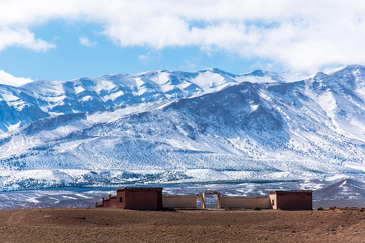
High Atlas
©
High Atlas

High Atlas

Morocco’s highest mountain range, stretching from Atlantic slopes to desert passes around Jebel Toubkal.

The High Atlas is the main mountain range of Morocco and the highest in North Africa, with Jebel Toubkal reaching 4,167 metres. The range stretches roughly 700km from the Atlantic coast in the southwest to the Algerian border in the northeast.

For trekkers, the Toubkal circuit based from the village of Imlil is the standard starting point. Toubkal itself can be climbed in two days from Imlil by reasonably fit people without technical climbing skills in summer — a hut (Refuge du Toubkal) sits at 3,200m for an overnight stop. In winter, the approach requires ice axes and crampons. The neighbouring massif of Ouanoukrim offers a quieter alternative summit at 4,083m with comparable views.

The range is also home to Berber villages largely unchanged in structure for centuries, with traditional agriculture, mule transport, and distinctive clay-and-stone architecture. The Ourika Valley and the road to Oukaïmeden (Africa's highest ski resort in winter) are accessible day trips from Marrakech. The Tizi n'Tichka pass (2,260m) is the main road route over the Atlas to the south and is spectacular. The whole high country falls within Toubkal National Park, Morocco's first protected area.

Guide

Getting There

The High Atlas is most easily accessed from Marrakech, which has international and domestic flights from across Europe and Morocco's main cities.

By road from Marrakech: The main gateway for trekking — the village of Imlil — is about 60km south of Marrakech. Shared taxis to the market town of Asni (the last point on the main road) run from the Bab er Robb bus station in Marrakech; from Asni you can take a local taxi up the remaining 17km to Imlil. Grand taxis direct to Imlil can be hired from Marrakech; expect to negotiate a price.

The Tizi n'Tichka route over the pass to Ouarzazate starts on the N9 road south from Marrakech. Buses run from Marrakech's main bus station (CTM and ONCF services) through to Ouarzazate, crossing the pass en route.

For the Ourika Valley: Minibuses leave regularly from Bab er Robb in Marrakech to Setti Fatma; the journey takes 90 minutes to two hours depending on stops.

Organised treks: Many operators in Marrakech's medina and Guéliz district offer guided treks to Toubkal with transport, accommodation, and equipment included. This is often the most practical option for first-time visitors.

Guide

Things to Do

The High Atlas rewards every kind of traveller: trekkers come for Toubkal and the Berber villages, skiers head to Oukaïmeden in winter, and day-trippers from Marrakech drive up to the Ourika Valley for the air alone. The range has few tourist traps — most of it is working agricultural land and mountain pasture, and you feel that.

Guide

When to Go

The High Atlas has a classic mountain climate: hot and dry in summer at lower elevations, cold and snowy in winter above 2,500 metres, and beautifully clear in spring and autumn.

Spring (March–May) is the best season for trekking. The high passes hold snow from the winter, which makes for dramatic scenery, but the main Toubkal route is usually manageable without technical gear by April. Wild flowers cover the lower slopes in April and May.

Summer (June–September) is the main trekking season, warm and settled, though afternoon thunderstorms build over the high peaks in July and August. The Toubkal summit is easily accessible without snow gear from June through October. July and August can be hot in the valleys.

Autumn (September–November) offers excellent trekking conditions: the summer crowds thin out, the air is clear, and the walnut trees turn gold in October. Night temperatures start falling sharply by October.

Winter (December–February) closes most high routes and requires serious mountaineering gear for Toubkal. The Ourika Valley and lower foothills remain accessible. Oukaïmeden ski resort opens when snow conditions allow, usually December through March.