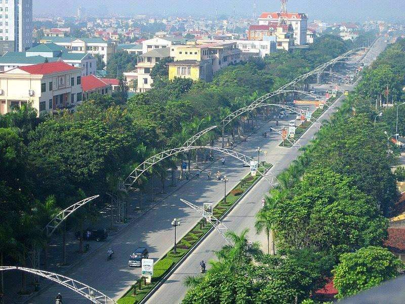
North-central Vietnamese province between Laos and the sea, mixing mountains, river valleys, coast, and ethnic communities.
Thanh Hoa is a large province in north-central Vietnam, bordering Laos to the west and the South China Sea to the east. It sits between the Red River Delta and the Central Highlands, a transitional zone of mountains, river valleys, and coastal lowland. The province is home to around 3.5 million people from nine ethnic groups, including Kinh, Thai, Muong, and H'mong communities concentrated in the highland districts.
The provincial capital, also called Thanh Hoa, is 153 km south of Hanoi on National Highway 1 and served by the main north-south rail line. Sam Son Beach, 16 km to the east, is the province's most visited destination — a long stretch of sand popular with summer crowds from Hanoi.
The mountain interior holds more for travellers willing to go further. Pu Luong Nature Reserve in the north-west protects limestone karst and primary forest with some of the best trekking in the region. The economy of the province runs on forestry, marine resources, and minerals.
Guide
Getting There
Thanh Hoa city sits on Vietnam's main north-south transport axis, about 153 kilometers south of Hanoi. Getting here is straightforward from both Hanoi and Ho Chi Minh City.
By Train
Thanh Hoa station is on the Reunification Express line, with regular services to Hanoi (2.5–3 hours) and to Hue, Da Nang, and Ho Chi Minh City. Several trains stop here daily. The station is about 2 kilometers from the city center.
By Bus
Buses from Hanoi's Giap Bat station run throughout the day and take around 3 hours on a good day, longer in traffic. Several sleeper bus operators serve the route. Local buses within the province connect the city to Sam Son Beach (16 km, 30 minutes) and to the bus terminal for Pu Luong treks.
By Motorbike
Many travelers pass through Thanh Hoa on the national highway (QL1A) without stopping. The city makes a reasonable overnight stop if you are riding the full north-south route.
Guide
When to Go
Thanh Hoa Province has a monsoon climate with a long hot season and distinct wet and dry periods that vary by altitude.
October to April is generally the best time to visit. Temperatures are mild (20–28°C in the lowlands), rain is infrequent, and the roads to Pu Luong are passable. Sam Son Beach is quiet in this season — fine for a day trip but lacking the summer atmosphere.
May to August brings heat and humidity to the coast and lowlands, with temperatures regularly exceeding 35°C. Sam Son Beach fills up with Vietnamese holiday-makers in July and August — the town has genuine summer resort energy if that appeals, but book accommodation in advance. Pu Luong is wet, muddy, and leech-heavy during the peak monsoon months.
September is transitional: the monsoon eases but typhoons can occasionally affect the northern coast.
For trekking in Pu Luong, October to December and March to April are the best windows — dry enough for comfortable walking, cool enough for highland nights.