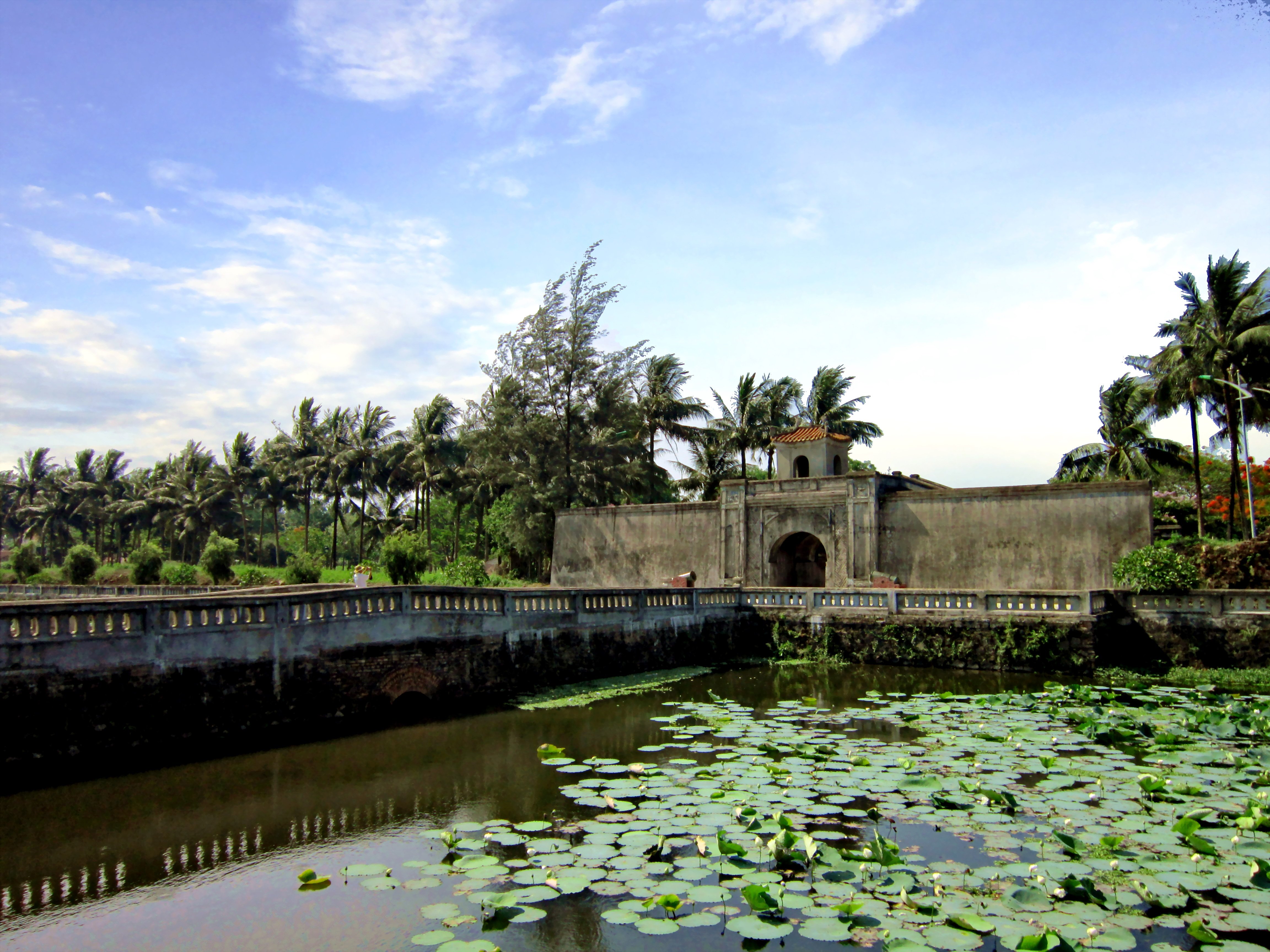
Quang Tri province sits astride the old Demilitarized Zone, the line that divided North and South Vietnam from 1954 to 1975. More than almost anywhere else in the country, the landscape here is still shaped by war. The former DMZ is now a kind of open-air history lesson: tunnels, cemeteries, bombed citadels, and a bridge where families were once separated for decades. If you want to understand the Vietnam War beyond the American narrative, this is the place to come.
The province stretches from the coast in the east to the mountains along the Lao border in the west. The coastal strip has beaches — Cua Tung is the best known — but most travelers pass through Dong Ha, the provincial capital, as a base for visiting the war sites scattered across the surrounding countryside. The Khe Sanh Combat Base, site of one of the war's longest sieges, is about 60km west near the Lao border. The Vinh Moc Tunnels, where an entire village lived underground for years to escape American bombing, lie north of Dong Ha near the coast.
The old town of Quang Tri itself was almost completely destroyed in the 1972 Easter Offensive and never rebuilt. Its ruined citadel stands as a kind of monument. The Truong Son National Cemetery, the largest in Vietnam, holds the graves of tens of thousands of North Vietnamese soldiers.
Getting to Quang Tri is easy: Dong Ha is on the main Hanoi–Ho Chi Minh City railway line and National Highway 1A, about 74km north of Hue. Highway 9 runs west through the province to the Lao Bao border crossing into Laos, making it a logical stop on an overland route between Vietnam and Laos.