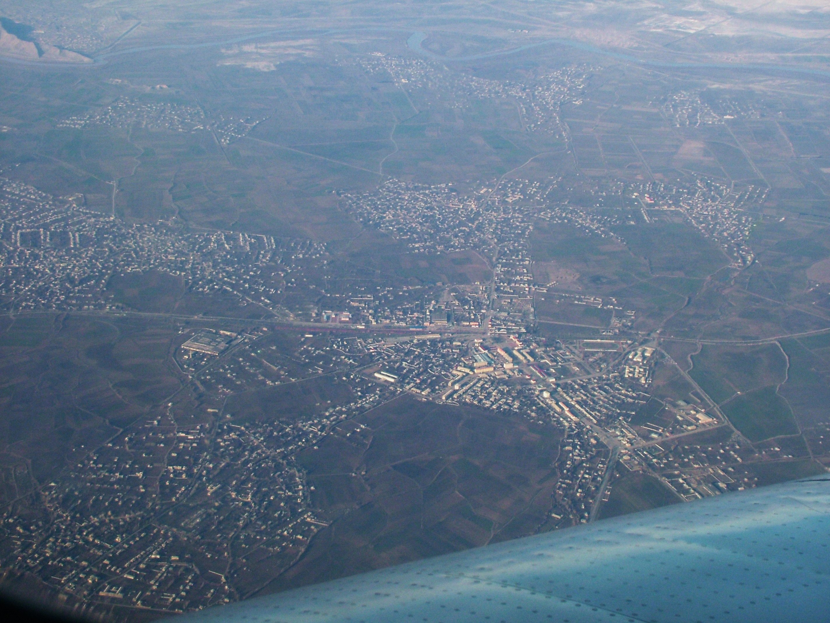
Sharur sits on the western edge of the Nakhchivan autonomous republic, on the road between Nakhchivan city and the Turkish border. The town itself is a recent one, grown up around a Soviet-built railway station; the closure of the line northwest into Armenia in the early 1990s was a severe blow to the local economy.
The centre has a double-minaret mosque, an oddly shaped regional museum, and a martyrs' memorial in the park near the stadium. There are a couple of basic hotels — an old Soviet block in the centre and a newer place on the northern exit of town.
The real interest in the area lies in the archaeology. The hilltop Iron Age citadel of Oğlanqala and the prehistoric settlement of Ovçular Tepesi, both within a few kilometres of town, are among the most important pre-classical sites in the southern Caucasus. The older town of Yengijar, 2 km south across the railway, is also worth a visit for its old mosques, abandoned bathhouse, and small bazaar.
On a clear day Mount Ararat / Ağrı dominates the horizon to the west. Around Sharur and Yengijar lie vast stretches of fertile agricultural land along the Arpa river.
Sharur is 460 km southwest of Baku.