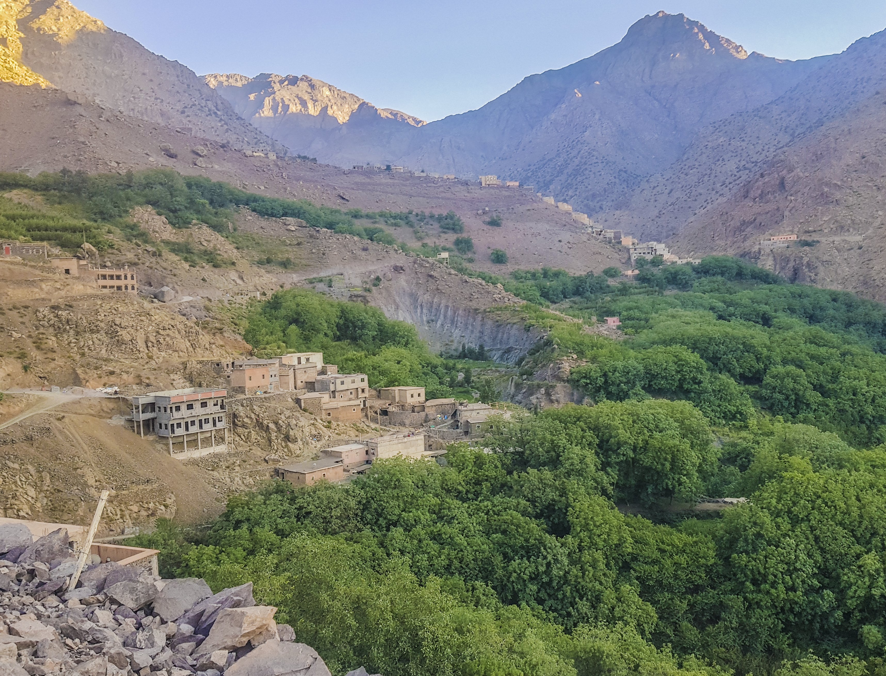
Imlil is a Berber village at 1,740 metres in the High Atlas, about 60 kilometres south of Marrakesh and the main gateway to Jebel Toubkal — at 4,167 metres, the highest mountain in North Africa. It exists almost entirely as a trekking base: guesthouses, guide bureaux, mule hire, and equipment shops fill the small village centre, and the surrounding mountains offer everything from afternoon valley walks to serious multi-day traverses of the Toubkal massif.
The approach from Marrakesh is itself arresting. The road climbs through the satellite town of Asni and then follows the Ait Mizane river valley upward, past terraced fields of barley and walnut orchards, through a succession of Amazigh (Berber) villages pressed against the cliffs. The air sharpens noticeably as the altitude rises. Imlil sits at the confluence of several valleys, which makes it an ideal hub: one path goes up to Aroumd and Sidi Chamarouch and eventually the Toubkal Refuge; others branch east and west across passes into neighbouring valleys.
The Toubkal ascent is the centrepiece. The standard route runs over two days — first to the refuge at 3,207 metres, then a summit push of three to four hours up loose scree and, in spring, firm snow. No technical climbing is required once the snows have melted (usually by June), but altitude and the sustained gradient demand a reasonable level of fitness. Registered guides are available at the CAF refuge in the village and are mandatory for some routes; a good guide also provides access to the village hospitality and cultural knowledge that most independent trekkers miss.
Beyond Jebel Toubkal, the Toubkal National Park offers weeks of trekking through valleys of extraordinary variety — from the green terraces of the lower slopes to the near-lunar high-altitude landscape above 3,500 metres. Multi-day circuits connecting Imlil with the Ourika Valley and other Atlas villages are popular with experienced trekkers.