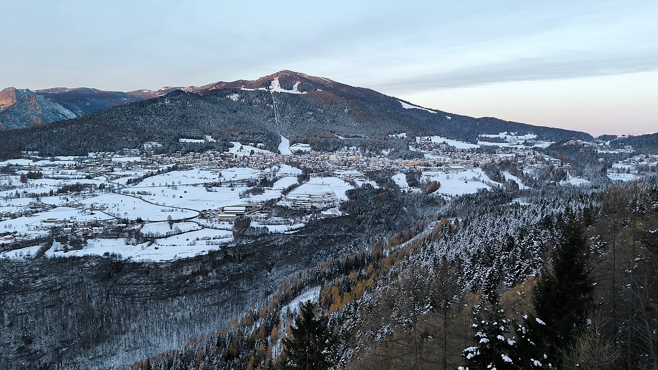
Folgaria sits on a sunny plateau at 1,168 metres above sea level, looking out over the Adige Valley toward the Lavarone mountain range in the southern Dolomites. With its onion-domed Chiesa di San Lorenzo, coffee houses, and Austrian-flavoured architecture, it is a reminder that this part of Trentino was Habsburg territory until 1918.
The town is primarily a winter destination — the Folgaria–Lavarone–Luserna ski area offers around 100 km of runs across the plateau — but the terrain is equally good in summer for hiking and mountain biking. The Passo Coe trails fan out across open highland meadows, and the alpine botanical garden at 1,612 metres is spectacular in early July. History buffs should seek out Forte di Sommo Alto, one of the best-preserved Austro-Hungarian fortifications from the First World War fighting on this plateau.
The atmosphere stays relaxed and unhurried year-round, more village than resort, and the surrounding landscape is genuinely beautiful.